Midwest National Air Center
Midwest National Air Center (ICAO: KGPH, FAA LID: GPH) is a public-use airport in Clay County, Missouri, United States.[1] The airport is located one nautical mile (1.85 km) north of the central business district of Mosby,[1] near Excelsior Springs.[2][3] It is owned by the Clay County Commission[1] and was formerly known as Clay County Regional Airport.
Midwest National Air Center | |||||||||||
|---|---|---|---|---|---|---|---|---|---|---|---|
| Summary | |||||||||||
| Airport type | Public | ||||||||||
| Owner | Clay County Commission | ||||||||||
| Serves | Clay County, Missouri | ||||||||||
| Location | Mosby / Excelsior Springs | ||||||||||
| Elevation AMSL | 777 ft / 237 m | ||||||||||
| Coordinates | 39°19′57″N 094°18′35″W | ||||||||||
| Map | |||||||||||
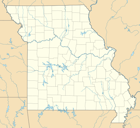 Midwest National Air Center | |||||||||||
| Runways | |||||||||||
| |||||||||||
| Statistics (2010) | |||||||||||
| |||||||||||
This airport is included in the FAA's National Plan of Integrated Airport Systems for 2009–2013, which categorized it as a general aviation facility.[4]
Although many U.S. airports use the same three-letter location identifier for the FAA and IATA, this facility is assigned GPH by the FAA but has no designation from the IATA.[5]
Facilities and aircraft
Midwest National Air Center covers an area of 573 acres (232 ha) at an elevation of 777 feet (237 m) above mean sea level. It has one runway designated 18/36 with an asphalt surface measuring 5,504 by 100 feet (1,678 x 30 m).[1]
For the 12-month period ending March 31, 2010, the airport had 25,520 aircraft operations, an average of 69 per day: 90% general aviation, 10% air taxi, and <1% military. At that time there were 53 aircraft based at this airport: 77% single-engine, 15% multi-engine, 6% jet, and 2% helicopter.[1]
References
- FAA Airport Master Record for GPH (Form 5010 PDF). Federal Aviation Administration. Effective 29 July 2010.
- Midwest National Air Center
- "Midwest National Air Center (GPH)" (PDF). Archived from the original (PDF) on 2012-08-25. Retrieved 2010-09-21. at Missouri DOT
- National Plan of Integrated Airport Systems for 2009–2013: Appendix A: Part 3 (PDF, 1.28 MB) Archived 2011-06-06 at the Wayback Machine. Federal Aviation Administration. Updated 15 October 2008.
- "Midwest National Air Center (ICAO: KGPH, FAA: GPH)". Great Circle Mapper. Retrieved 21 September 2010.
External links
- Aerial image as of 28 February 1996 from USGS The National Map
- FAA Terminal Procedures for GPH, effective April 23, 2020
- Resources for this airport:
- FAA airport information for GPH
- AirNav airport information for GPH
- FlightAware airport information and live flight tracker
- SkyVector aeronautical chart for GPH