Mesøya
Mesøya or Mesøy is an island in the municipality of Meløy in Nordland county, Norway. The island is located just southwest of the village of Ørnes on the mainland and east of the island of Meløya. The island sits at the mouth of the Glomfjorden. Mesøya is only accessible by boat, and it has no regular ferry service. Mesøya has an area of 8 square kilometres (3.1 sq mi) and the highest point on the island is the 364-metre (1,194 ft) tall Mesøytoppen.[1]
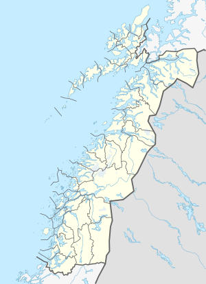 Mesøy Location of the island  Mesøy Mesøy (Norway) | |
| Geography | |
|---|---|
| Location | Nordland, Norway |
| Coordinates | 66.8596°N 13.6386°E |
| Area | 8 km2 (3.1 sq mi) |
| Length | 4.5 km (2.8 mi) |
| Width | 3 km (1.9 mi) |
| Highest elevation | 364 m (1,194 ft) |
| Highest point | Mesøytoppen |
| Administration | |
Norway | |
| County | Nordland |
| Municipality | Meløy Municipality |
See also
This article is issued from Wikipedia. The text is licensed under Creative Commons - Attribution - Sharealike. Additional terms may apply for the media files.