McAfee Peak
McAfee Peak is the highest mountain in the Independence Mountains of northern Elko County, Nevada, United States.[2] It ranks twenty-first among the most topographically prominent peaks in the state.[4] The peak is located within the Mountain City Ranger District of the Humboldt-Toiyabe National Forest.
| McAfee Peak | |
|---|---|
_in_Elko_County%2C_Nevada.jpg) View of McAfee Peak from North Fork Road | |
| Highest point | |
| Elevation | 10,442 ft (3,183 m) NAVD 88[1] |
| Prominence | 4,158 ft (1,267 m) [2] |
| Coordinates | 41°31′18″N 115°58′24″W [1] |
| Geography | |
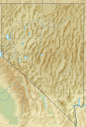 McAfee Peak Nevada, U.S. | |
| Location | Elko County, Nevada, U.S. |
| Parent range | Independence Mountains |
| Topo map | USGS McAfee Peak |
| Climbing | |
| Easiest route | From Jacks Creek Summit, Class 2 scramble south along the ridgeline[3] |
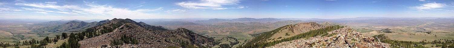
Summit panorama
References
- "Jacks". NGS data sheet. U.S. National Geodetic Survey. Retrieved 2014-01-28.
- "McAfee Peak, Nevada". Peakbagger.com. Retrieved 2014-01-28.
- "McAfee Peak". SummitPost.org. Retrieved 2014-11-12.
- "Nevada Peaks with 2000 feet of Prominence". Peakbagger.com. Retrieved 2014-10-23.
This article is issued from Wikipedia. The text is licensed under Creative Commons - Attribution - Sharealike. Additional terms may apply for the media files.