Martinsell Hill
Martinsell Hill, located near Oare north of Pewsey, is the third highest point in the county of Wiltshire, southwest England, at some 289 m / 948 ft above sea level. It is the location of an Iron Age hillfort.[1][2]
| Martinsell Hill | |
|---|---|
 View across the combe to the east of Martinsell Hill | |
| Highest point | |
| Elevation | 289 m (948 ft) |
| Prominence | 76 m (249 ft) |
| Listing | Tump |
| Coordinates | 51°22′24″N 1°44′40″W |
| Geography | |
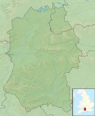 Martinsell Hill Martinsell Hill in Wiltshire | |
| Location | Wiltshire, |
| Parent range | Walbury Hill |
| OS grid | SU178638 |
| Topo map | OS Landranger 173 |
Location
Martinsell Hill rises about 2km east-northeast of the village of Oare, 2km northwest of the village of Wootton Rivers, and about 4km north-northeast of the town of Pewsey. The hill is part of an east-west ridge on the northern flanks of the Vale of Pewsey and overlooks the Salisbury Avon and the Kennet & Avon Canal. The Mid Wilts Way runs along the back of the ridge. There is a trig point at the top. To the west are Oare Hill and the grounds of Rainscombe House.[2]
There are good views from the top, including Salisbury Cathedral, over 25 miles away.[3]
Fort
At the summit is an Iron Age univallate hillfort of 32 acres (13 ha) with a clearly visible bank and ditch system.[4] The entrance appears to be to the northeast where there is also a ditch.[4] The fort is the second highest prehistoric camp in Wiltshire.[5]
The hillfort is a scheduled ancient monument and was partially excavated by Colt Hoare.[6]
References
- "Martinsell Hill". Hill Bagging. Retrieved 6 July 2016.
- Ordnance Survey Landranger map, 1:50,000 series, no. 173.
- "Iron Age Fort, Martinsell Hill". Visit Pewsey Vale. Retrieved 6 July 2016.
- "Martinsell Hill Hillfort, Wiltshire". Digital Digging. Retrieved 6 July 2016.
- "Martinsell Hill, Oare, Pewsey, Wiltshire". The Northern Antiquarian. Retrieved 6 July 2016.
- Historic England. "Martinsell Hill camp (1005676)". National Heritage List for England. Retrieved 5 July 2016.