Marrawah
Marrawah is a small town in the north of the West Coast of Tasmania, Australia. Marrawah is located in the former shire of Wellington, now part of the Circular Head Council area. At the 2006 census, Marrawah had a population of 407.[1]
| Marrawah Tasmania | |||||||||||||||
|---|---|---|---|---|---|---|---|---|---|---|---|---|---|---|---|
 Marrawah | |||||||||||||||
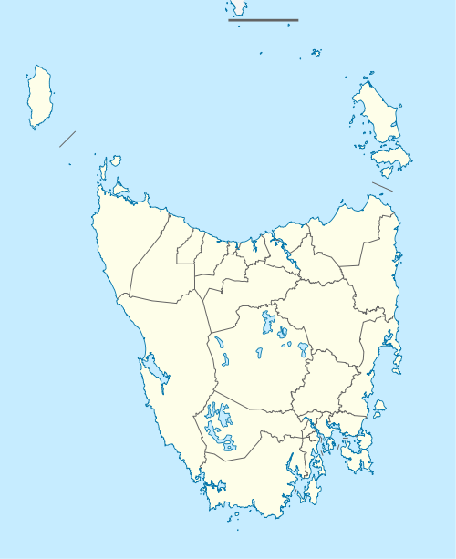
| Coordinates | 40°56′S 144°42′E | ||||||||||||||
| Population | 131 (2016 census)[1] | ||||||||||||||
| Postcode(s) | 7330 | ||||||||||||||
| Location | 491 km (305 mi) NW of Hobart | ||||||||||||||
| LGA(s) | Circular Head | ||||||||||||||
| State electorate(s) | Braddon | ||||||||||||||
| Federal Division(s) | Braddon | ||||||||||||||
| |||||||||||||||
Marrawah is mainland Tasmania's westernmost settlement and the furthest settlement from Hobart. It is located 491 km north-west of Hobart and 292 km north-west of Launceston and lies at the western end of the A2 sealed road. Marrawah also marked the end of Tasmania's westernmost railway, the Smithton to Marrawah Tramway.[2] Farming, including dairy farming, and tourism are the main commercial activities. The area has several important Aboriginal sites, such as Aboriginal carvings at Mount Cameron West and Sundown Point.[3]
Green Point Beach near Marrawah is also known a good location for surfing, kitesurfing and windsurfing.[4]
The Woolnorth Wind Farm on Cape Grim is visible in the distance to the north of Marrawah.
History
Marrawah Post Office opened on 1 March 1897. A Marrawah East office opened in 1921, was renamed Redpa in 1926 and closed in 1987.[5]
References
- Australian Bureau of Statistics (25 October 2007). "Marrawah (State Suburb)". 2006 Census QuickStats. Retrieved 19 January 2010.
- Light Railways 236, April 2014
- Marrawah, The Age, February 8, 2004
- Tasmanian Kite Surfing Association Location Database
- Premier Postal History. "Post Office List". Premier Postal Auctions. Retrieved 16 June 2012.