Marion Municipal Airport (Ohio)
Marion Municipal Airport (IATA: MNN, ICAO: KMNN, FAA LID: MNN) is three miles northeast of Marion, in Marion County, Ohio.[1] The FAA's National Plan of Integrated Airport Systems for 2011–2015 categorized it as a general aviation facility.[2]
Marion Municipal Airport | |||||||||||||||
|---|---|---|---|---|---|---|---|---|---|---|---|---|---|---|---|
| Summary | |||||||||||||||
| Airport type | Public | ||||||||||||||
| Owner | City of Marion | ||||||||||||||
| Serves | Marion, Ohio | ||||||||||||||
| Elevation AMSL | 993 ft / 303 m | ||||||||||||||
| Coordinates | 40°36′58″N 083°03′48″W | ||||||||||||||
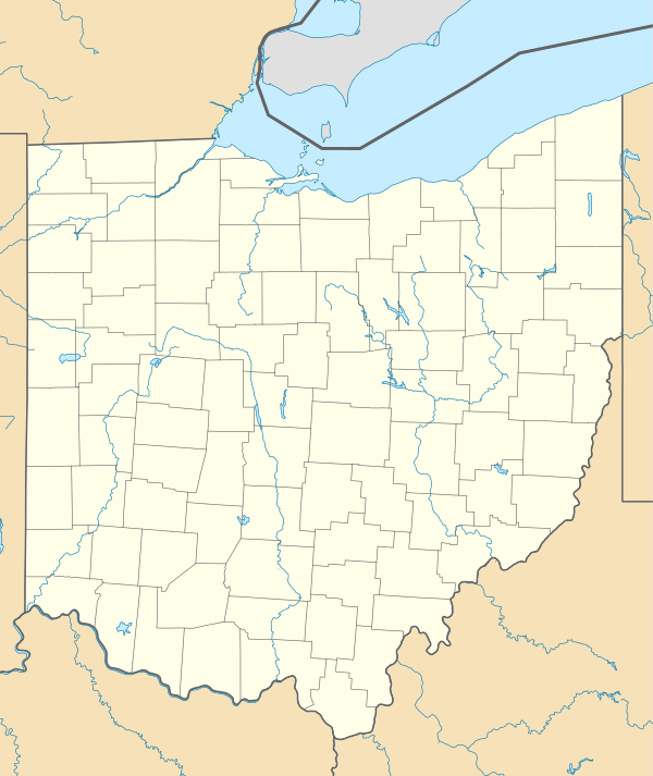
| Map | |||||||||||||||
 MNN  MNN | |||||||||||||||
| Runways | |||||||||||||||
| |||||||||||||||
| Statistics (2009) | |||||||||||||||
| |||||||||||||||
The first airline flights were TWA, in 1950-51; Lake Central took over in 1953 and left in 1961.
Facilities
Marion Municipal Airport covers 658 acres (266 ha) at an elevation of 993 feet (303 m). It has two asphalt runways: 7/25 is 5,000 by 100 feet (1,524 x 30 m) and 13/31 is 3,498 by 100 feet (1,066 x 30 m).[1]
In the year ending May 18, 2009 the airport had 42,650 aircraft operations, average 116 per day: 87% general aviation, 13% air taxi, and <1% military. 62 aircraft were then based at the airport: 60% single-engine, 5% multi-engine, 3% helicopter, 29% glider and 3% ultralight.[1]
References
- FAA Airport Master Record for MNN (Form 5010 PDF). Federal Aviation Administration. Effective 30 June 2011.
- National Plan of Integrated Airport Systems for 2011–2015: Appendix A (PDF, 2.03 MB) Archived 2012-09-27 at the Wayback Machine. Federal Aviation Administration. Updated 4 October 2010.
External links
- Aerial photo as of 7 April 1994 from USGS The National Map
- FAA Terminal Procedures for MNN, effective April 23, 2020
- Resources for this airport:
- FAA airport information for MNN
- AirNav airport information for KMNN
- ASN accident history for MNN
- FlightAware airport information and live flight tracker
- NOAA/NWS weather observations: current, past three days
- SkyVector aeronautical chart, Terminal Procedures