Mapua, New Zealand
Mapua or Māpua is a small town in the South Island of New Zealand. It is to the west of Nelson on State Highway 60 and on the coastline of Tasman Bay. According to the 2013 New Zealand census, Mapua, together with Ruby Bay, has a population of 2,013, an increase of 135 people since the 2006 census.[1]
Mapua | |
|---|---|
Village | |
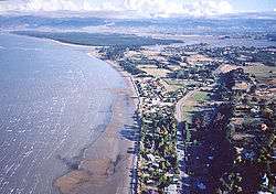 Photo taken from a hang glider above Ruby Bay cliffs | |
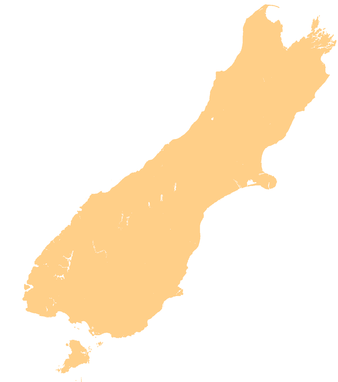 Mapua Mapua's location | |
| Coordinates: 41°15′15″S 173°05′45″E | |
| Country | New Zealand |
| District | Tasman District |
| Time zone | UTC+12 (NZST) |
| • Summer (DST) | UTC+13 (NZDT) |
| Area code | 03 |
With a thriving wharf and commercial area, Mapua has grown in popularity for visitors, with numbers swelling the region over the summer months. A large fair and market is held every Easter Sunday. Up to 30,000 people visit the town on this day to enjoy rides, stalls, and other attractions. The local schools and playcentre benefit from the fair, which is their primary fundraising activity.
History
Before 1930

Middens, tools and human bones found at Grossis Point and around the northern edges of the Waimea inlet suggest small seasonal Māori settlements were located here, with a major pā (fortified settlement) located on the Kina Cliffs to the north. The pā remained in use in the period of early European settlement of the Mapua district; the public can visit the site. The lack of evidence of cannibalism and the rarity of weapons suggest that the Māori living in this district were peaceful and seldom were involved in wars. In the late 1820s, Maori from the North Island (led by the Maori Chief Te Rauparaha) came to the South Island with warriors armed with muskets. Te Rauparaha took over Marlborough before sending half his army west to take over Tasman Bay and Golden Bay. Due to the invaders' considerable advantage in weaponry and skill, they soon overcame the local Maori populations. After a battle, most of the invaders moved on, leaving only a small local population of Māori in the region.
The first land-sale to a European in Mapua involved 166 acres, bought in 1854 by Captain James S. Cross for 60 pounds.
The first European resident of Mapua, James Heatly, worked as a fisherman and hunted rabbits which he brought to Nelson to sell. The port area was originally known as the Western Entrance, and the township dubbed Seaton Township (by a surveyor who had been subdividing part of the town). Mr F.I. Ledger helped plan out the town and later named it "Mapua" which was also what the New Zealand telephone guide named it. Mapua means "abundance" or "prolific" when interpreted into English. By 1915, a substantial wharf could cope with larger ships coming into the harbour for the apple trade, which was booming at this time. The poor roads in the area meant that shipping the apples out was the only option, however eventually a road was built around the Ruby Bay bluffs, linking Nelson with Motueka. A shop, first opened in 1921 to service the locals, stood on the same plot of land as the present-day shop.[2]
Former contaminated site
In the 20th century Mapua became one of the most contaminated sites in New Zealand due to pesticide residues in the soils from a now defunct factory, but the 21st century saw a major cleanup operation.
In 1932 the Fruitgrowers Chemical Company built a plant to manufacture pesticides for use in the numerous orchards in the surrounding area. In the 1940s the factory produced organomercury and organochlorine pesticides, including DDT, DDD, dieldrin, 2,4-D and paraquat. Organophosphorous pesticides were produced from the 1960s. By 1978, 124 chemicals were being used to produce 84 different formulations. The plant closed in 1988.
The Tasman District Council took over the site in 1989, and measures were taken to prevent leaching of the chemicals into the adjoining Waimea Inlet. In 1999, the Ministry for the Environment allocated funding for a remediation programme, with "on-site" processing selected as the preferred remediation option.[3] Two years later, the Tasman District Council awarded a contract for remedial work to a partnership of Theiss Services (an Australian remediation specialist) and Environmental Decontamination Limited (EDL) of Auckland. Thiess, the main contractor, held the resource consents to carry out the work; EDL supplied the remediation technology: Mechano-Chemical Dehalogenation (MCD). The site was handed back to the Tasman District Council in November 2007.[4]
In May 2012, a Department of Labour report [5] found that some of the 30 people who worked on the cleanup suffered health issues including respiratory problems, nausea, collapsing and fatigue.[6][7]
Education
Mapua School is a co-educational state primary school for Year 1 to 8 students,[8][9] with a roll of 284 as of March 2020.[10]
References
- 2013 Census QuickStats about a place : Mapua
- "MAPUA - A Brief History". mapua.gen.nz. Retrieved 9 November 2010.
- Parliamentary Commissioner for the Environment. Investigation into the remediation of the contaminated site at Mapua. Parliamentary Commissioner for the Environment. Wellington, 2008
- Parliamentary Commissioner for the Environment (July 2008). Investigation into the remediation of the contaminated site at Mapua. PCE. ISBN 978-1-877274-17-6.
- McBride, D. A report on Occupational Health and Safety at the Fruitgrowers Chemical Company remediation site, Mapua. Department of Labour, Wellington, 2012. ISBN 978-0-478-39154-1. Available: http://hdl.handle.net/10523/4837
- Kidson, Sally (19 May 2012). "Cleanup safety flawed". stuff.co.nz. Nelson Mail.
- Staff reporter (20 May 2012). "Mapua workers should be given medical aid - Greens". Radio New Zealand.
- "Mapua School Official School Website". mapua.school.nz.
- "Mapua School Ministry of Education School Profile". educationcounts.govt.nz. Ministry of Education.
- "Mapua School Education Review Office Report". ero.govt.nz. Education Review Office.