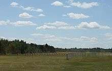
Manitowish Waters Airport
Manitowish Waters Airport (FAA LID: D25) is a town owned public use airport located one mile (1.6 km) south of the central business district of Manitowish Waters, a town in Vilas County, Wisconsin, United States.[1] It is included in the National Plan of Integrated Airport Systems for 2019–2023, which categorized it as a local general aviation facility.[2]
Manitowish Waters Airport | |||||||||||||||
|---|---|---|---|---|---|---|---|---|---|---|---|---|---|---|---|
 | |||||||||||||||
| Summary | |||||||||||||||
| Airport type | Public | ||||||||||||||
| Owner | Town of Manitowish Waters | ||||||||||||||
| Serves | Manitowish Waters, Wisconsin | ||||||||||||||
| Elevation AMSL | 1,610 ft / 491 m | ||||||||||||||
| Coordinates | 46°07′12″N 089°52′55″W | ||||||||||||||
| Map | |||||||||||||||
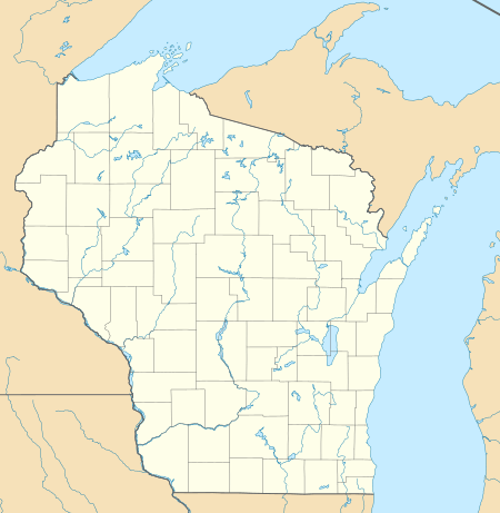 D25 Location of airport in Wisconsin, United States  D25 D25 (the United States) | |||||||||||||||
| Runways | |||||||||||||||
| |||||||||||||||
| Statistics | |||||||||||||||
| |||||||||||||||
Although most U.S. airports use the same three-letter location identifier for the FAA and IATA, this airport is assigned D25 by the FAA but has no designation from the IATA.
Facilities and aircraft
Manitowish Waters Airport covers an area of 439 acres (177 ha) at an elevation of 1,610 feet (491 m) above mean sea level. It has two runways: 14/32 is 3,498 by 60 feet (1,066 x 18 m) with an asphalt surface and 4/22 is 3,094 by 120 feet (943 x 36 m) with a turf surface.[1][3]
For the 12-month period ending August 8, 2018, the airport had 6,200 aircraft operations: 96% general aviation and 4% air taxi. In June 2020, there were 13 aircraft based at this airport: all 13 single-engine.[1]
See also
References
- FAA Airport Master Record for D25 (Form 5010 PDF). Federal Aviation Administration. effective June 18, 2020.
- "NPIAS Report 2019-2023 Appendix A" (PDF). Federal Aviation Administration. October 3, 2018. Retrieved October 12, 2018.
- "Airport - Manitowish Waters, Wisconsin". Manitowish Waters.com. Town of Manitowish Waters. Retrieved August 11, 2016.
External links
- Airport page at Manitowish Waters website
- FAA Terminal Procedures for D25, effective June 18, 2020
- Resources for this airport:
- FAA airport information for D25
- AirNav airport information for D25
- FlightAware airport information and live flight tracker
- SkyVector aeronautical chart for D25
Civil aviation in Wisconsin | ||
|---|---|---|
| Primary airports | ||
| Airlines | ||
| Museums | ||
| Aviation related | ||
| People |
| |