Makenke
Makenke is a neighborhood within Mbarara City, in the Western Region of Uganda.[1]
Makenke | |
|---|---|
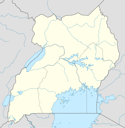 Makenke Location of Makenke, Mbarara, Uganda | |
| Coordinates: 00°34′42″S 30°41′08″E | |
| Country | |
| Region | Western Uganda |
| District | Mbarara District |
| Constituency | Mbarara Municipality |
| Division | Kakiika Division |
| Elevation | 1,200 m (3,900 ft) |
| Time zone | UTC+3 (EAT) |
Location
Makenke is located in Kakiika Parish, in Kakiika sub-county, approximately 4 kilometres (2 mi), by road, north-east of Mbarara city's central business district, along the Mbarara–Masaka Highway.[2]
It borders with Kacence to the north, Koranorya to the east, Kakoba to the south west and Nyamityobora to the west. The geographical coordinates of Makenke are 0°34'42.0"S, 30°41'08.0"E (Latitude:-0.578333; Longitude:30.685556).[1]
Overview
Makenke is a low income settlement in Mbarara town. The settlement is found in the Kakiika Division of Mbarara Municipality. Prior to that, Makenke was part of Kashari County until July 2014 when it was incorporated into Mbarara Municipality.[3]
The 2nd Division of the Uganda People's Defense Force (UPDF) maintains its headquarters at Makenke.[4] In the Makenke barracks, Wazalendo Savings and Credit Cooperative Society maintains a branch.[5] It is also the location of Mbarara Army School, that caters to the children of the soldiers.
Makenke is the location of Mbarara Industrial Park, administered by the Uganda Investment Authority.[6] Mbarara Coca Cola Bottling Plant, owned by Century Bottling Company Limited, a subsidiary of Coca Cola International, one of the two Coca Cola bottling companies in the country, is located in Makenke.[7]
The Mbarara Northern Bypass Road, starts at Makenke, then progresses northwestwards through Rwebishuri, Nkokonjeru, Ruharo, across the River Rwizi, before it ends at Nyakayojo, along the Mbarara–Ntungamo–Kabale–Katuna Road, a total distance of about 14.5 kilometres (9 mi).[8]
See also
References
- Google (5 July 2018). "Location of Makenke, Mbarara Municipality, Western Region, Uganda" (Map). Google Maps. Google. Retrieved 5 July 2018.
- Globefeed.com (5 July 2018). "Distance between Main Post Office, Mbarara, Uganda and Makenke Redeemed Church, Mbarara, Uganda". Globefeed.com. Retrieved 5 July 2018.
- Ebenezer Bifubyeka (19 February 2002). "Mbarara Town to Expand". New Vision. Kampala. Retrieved 5 July 2018.
- Global Security Organization (10 June 2015). "About the UPDF 2 Infantry Division". GlobalSecurity.org. Retrieved 5 July 2018.
- WSACCO (5 July 2018). "Full List of Wazalendo Sacco Branches". Wazalendo Savings & Credit Cooperative Society (WSACCO). Retrieved 5 July 2018.
- Ssengendo, Abdulkarim (25 February 2007). "Mbarara gets industrial park". New Vision. Kampala. Retrieved 6 July 2018.
- Vision Reporter (2 November 1998). "Uganda: Mbarara Battlefield Becomes Coke Factory". New Vision via AllAfrica.com. Kampala. Retrieved 6 July 2018.
- Colleb, Mugume (4 March 2015). "Those buying mailo land are getting air - Museveni". Daily Monitor. Kampala. Retrieved 6 July 2018.
External links
- Uganda: 'Makenke Barracks Too Full' As at 19 October 2001.