MacCormick Fjord
MacCormick Fjord (Greenlandic: Iterlassuaq) is a fjord in northern Greenland. To the southwest, the fjord opens into the Murchison Sound of the Baffin Bay.[1]
| MacCormick Fjord | |
|---|---|
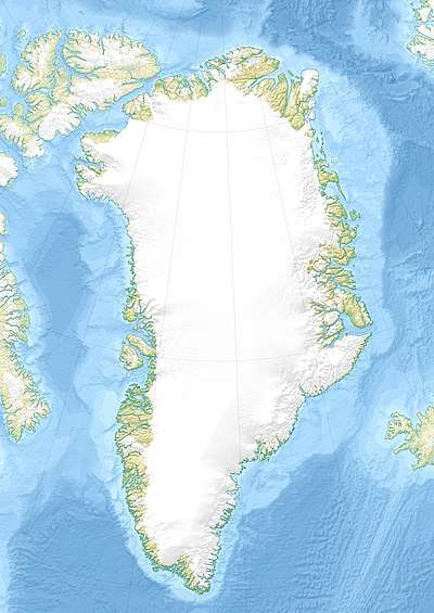 MacCormick Fjord Location in Greenland | |
| Location | Arctic |
| Coordinates | 77°40′N 70°0′W |
| Native name | Iterlassuaq |
| Ocean/sea sources | Murchison Sound Baffin Bay |
| Basin countries | Greenland |
| Max. length | 30 km (19 mi) |
| Max. width | 8 km (5.0 mi) |
History
In 1891 a spot in the southern shore near the mouth of the fjord was chosen as a place for the recovery of Robert Peary during his Second Greenland Expedition. A house was built and the site was named "Red Cliff".[2]
Geography
MacCormick Fjord, together with Robertson Fjord close to the west, is one of the two main indentations of the northern side of the Murchison Sound. It runs in a roughly NE/SW direction east of Cape Robertson, with its mouth north of Cape Cleveland, beyond the western end of the Inglefield Gulf.[3] Piulip Nunaa is the peninsula that separates this fjord from Bowdoin Fjord to the east and MacCormick Fjord forms the peninsula's western coastline. Most of the fjord's shores are beach.[4]
The Sun Glacier discharges from the Greenland Ice Sheet at the head of the MacCormick Fjord and its terminus is a 30 m (98 ft) high wall; the smaller Scarlet Heart Glacier has its terminus on the eastern shore of the inner fjord, about 20 km (12 mi) from its mouth.[5]
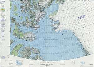 Map of Northwestern Greenland |
.jpg) 19th century map of the Inglefield Gulf. |
See also
References
- GoogleEarth
- Red Cliff House
- "MacCormick Fjord". Mapcarta. Retrieved 14 April 2019.
- Prostar Sailing Directions 2005 Greenland and Iceland Enroute, p. 89
- T. C. Chamberlin, Glacial Studies in Greenland. The Journal of Geology Vol. 5, No. 3 (Apr. - May, 1897), pp. 229-240. Published by: The University of Chicago Press