Los Perales Airport
Los Perales Airport (IATA: BHA, ICAO: SESV) is an airport serving the city of Bahía de Caráquez in Manabí Province, Ecuador. The airport is across the Chone River from the city and is reached via a 1.7 kilometres (1 mi) causeway.
Los Perales Airport | |||||||||||
|---|---|---|---|---|---|---|---|---|---|---|---|
| Summary | |||||||||||
| Airport type | Public | ||||||||||
| Serves | Bahía de Caráquez, Ecuador | ||||||||||
| Location | San Vicente | ||||||||||
| Elevation AMSL | 10 ft / 3 m | ||||||||||
| Coordinates | 0°36′20″S 80°24′15″W | ||||||||||
| Map | |||||||||||
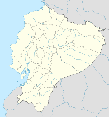 BHA Location of the airport in Ecuador | |||||||||||
| Runways | |||||||||||
| |||||||||||
The Bahia de Caraquez non-directional beacon (ident: BCN) is located on the field. The Manta VOR-DME (Ident: MNV) is located 25.0 nautical miles (46 km) southwest of the airport.[4][5]
See also


- List of airports in Ecuador
- Transport in Ecuador
References
- Airport information for Los Perales Airport at Great Circle Mapper.
- Google Maps - Los Perales
- "San Vincente/Los Perales Airport". SkyVector. Retrieved 30 March 2019.
- "Manta VOR". Our Airports. Retrieved 30 March 2019.
- "Bahia NDB". Our Airports. Retrieved 30 March 2019.
External links
- HERE Maps - Los Perales
- OpenStreetMaps - Los Perales
- OurAirports - Los Perales
- Skyvector Aeronautical Charts - Los Perales
- Accident history for Bahia de Caraquez Airport at Aviation Safety Network
This article is issued from Wikipedia. The text is licensed under Creative Commons - Attribution - Sharealike. Additional terms may apply for the media files.