Lorton, Cumbria
Lorton, a parish in the district of Allerdale of the English county of Cumbria, consists of two adjacent villages: Low Lorton and High Lorton. Both nestle at the northern end of the Vale of Lorton, surrounded by fells such as Grasmoor, Hopegill Head and Whiteside.[2] They are about 4 miles (6.5 km) from Cockermouth, which gives access to the main A66 road. Other nearby places include Loweswater and Brigham.
| Lorton | |
|---|---|
 The Parish Church of St. Cuthbert, Lorton | |
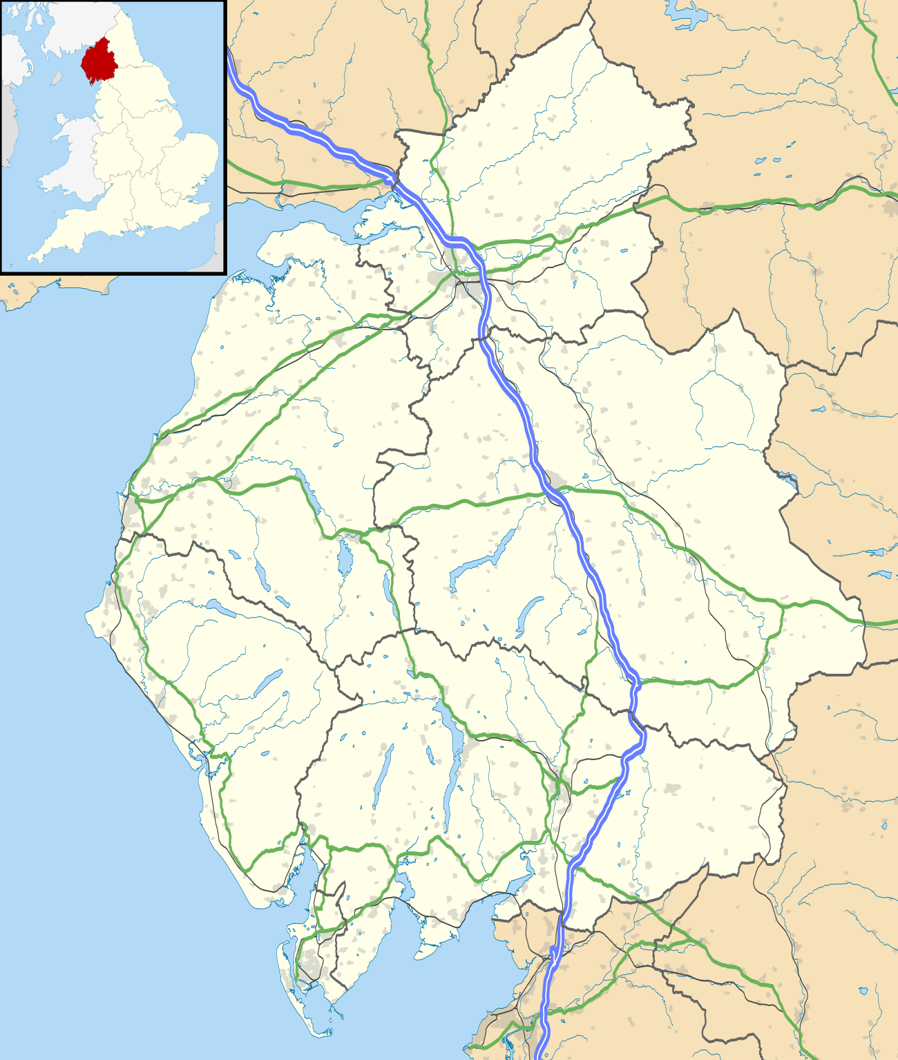 Lorton Location within Cumbria | |
| Population | 256 (2011)[1] |
| OS grid reference | NY1602623548 |
| Civil parish |
|
| District | |
| Shire county | |
| Region | |
| Country | England |
| Sovereign state | United Kingdom |
| Post town | Cockermouth |
| Postcode district | CA13 |
| Dialling code | 01900 |
| Police | Cumbria |
| Fire | Cumbria |
| Ambulance | North West |
| UK Parliament | |
Tourism
Lorton is relatively untouched by tourism, although many tourists pass through on the way to the Buttermere valley. Nevertheless, there are several hill walks available. For instance, Hopegill Head can be climbed from High Lorton and Fellbarrow from Low Lorton. Of interest are the 12th-century St Cuthbert's Church and the 1663 pele tower, but the latter is not open to public.[3] Lorton's ancient Yew Tree is the subject of a poem by Wordsworth.
The Whinlatter Pass road connects Lorton with Braithwaite. The main road passing through Lorton links Cockermouth with Buttermere and Loweswater.
The villages
The villages consist of 114 households,[4] with an area of 5,501 acres (2226 ha).[5] Lorton also has a small primary school,[6] St Cuthbert's Church), a newly re-opened shop and coffee bar [7], a tennis club.[8] and an award-winning public house, The Wheatsheaf Inn.[9] The village has had a community in Fairfax County, Virginia, United States, named after it.
Population
At the 2001 census, Lorton had a population of 250, 114 male and 136 female.[10] The population is dominated by two age groups – 45–64 (71 persons) and 25–44 (61 persons). The mean age of population in the area is 44.72 years. These figures changed only slightly at the 2011 Census.
Lorton is fairly isolated; residents have to travel on average of 17 miles (28 km) to their work places; 102 people out of the 250 aged 16–74 are economically active and only 6 unemployed.[11]
History
Etymology
The second element in the name "Lorton" is clearly from the Old English "tūn", meaning farmstead or village'. The first remains enigmatic, but experts have suggested[12] it is from an Old Norse river name "Hlóra", meaning roaring, parallel with the Norwegian "Lora".[13] The roaring may refer either to the Whit Beck or the River Cocker.
Agriculture and brewing
In 1811, Lorton was at the peak of its prosperity and population due to high demand on agricultural products as England was recovering from the Napoleonic Wars (1803–1815).[14] The majority of residents were employed in agriculture across the six farms, including one attached to the 17th-century New House. The farms were powered by fast-flowing tributaries of the River Cocker, which runs the length of the valley. Most of houses and cottages in Lorton started off as barns and mills.[15] Church records indicate a post-war depression from 1816 to 1830, with a population decrease of about 50 people and the number of marriages decreased.[14]
The firm of Jennings Brewery was set up in Lorton in 1828 by John Jennings and brewed here exclusively until 1874.[16]
Lorton Park is a Grade II Listed Regency House owned in the 19th century by Richard Harbord, a Liverpool shipping magnate who is buried in the parish church.[17] In 1863, Prince Arthur visited Lorton Park and planted a commemorative chestnut tree in the gardens.[18]
The novelist and agricultural writer and activist Doreen Wallace (1897–1989) was born in Lorton.
Historical mentions
Lorton was mentioned in the Imperial Gazetteer of England and Wales (1870–1872) by John Marius Wilson, who described it as "a village, a township, and a parish in Cockermouth district, Cumberland".[19] Wilson gave some early key statistics on the value of real property (£3,288), the head count (456) and the area (5264 acres, 2130 ha). Lorton was mentioned some 15 years later in the Gazetteer of the British Isles (1887) by John Bartholomew, whose figures show some changes: the population lower by 59 at 397 and the area higher 54 acres at 5318 acres (2152 ha).
William Wordsworth, the famous poet born in Cockermouth, immortalised the Lorton Yew Tree in his poem "Yew Trees" in 1804. The tree is calculated to be at least 1000 years old, but it was severely damaged by a storm shortly after the poem was written.[20]
See also
References
- "Parish population 2011". Retrieved 17 June 2015.
- "Lorton Weather Website". Retrieved 28 April 2012.
- "Visit Cumbria Website". Retrieved 28 April 2012.
- "Office For National Statistics Neighbourhood Statistics (Households)". 2001. Retrieved 30 April 2012.
- "A Vision of Britain Through Time". 1961. Retrieved 30 April 2012.
- "Lorton Primary School". Retrieved 30 April 2012.
- shop.
- "Lorton Tennis". Retrieved 1 May 2012.
- "The Wheatsheaf Inn". Retrieved 30 April 2012.
- "Office For National Statistics Neighbourhood Statistics (People)". 2001. Retrieved 30 April 2012.
- "Office For National Statistics Neighbourhood Statistics (Work and Qualifications)". 2001. Retrieved 30 April 2012.
- Ekwall, Eilert (1960). The Concise Oxford Dictionary of English Place-Names (4th ed.). Oxford: Clarendon.
- Whaley, Diana (2006). A dictionary of Lake District place-names. Nottingham: English Place-Name Society. pp. lx, 423 p.221. ISBN 0904889726.
- "Lorton as it was 200 years ago" (PDF). 2011. Retrieved 30 April 2012.
- "A brief history of Lorton Village". Archived from the original on 15 January 2012. Retrieved 1 May 2012.
- "Jennings Brewery History". Retrieved 1 May 2012.
- "Lorton Park, Lorton, Cumbria". British Listed Buildings.
- Lorton Park
- "A Vision of Britain Through Time (Historical Descriptions)". Retrieved 30 April 2012.
- "Lorton Yew Trees". Retrieved 30 April 2012.
External links

- Cumbria County History Trust: Lorton (nb: provisional research only – see Talk page)