Loch of Clunie
Loch of Clunie is a large lowland freshwater loch that is located 2 miles (3 km) west of Blairgowrie, Perth and Kinross, Scotland.[1][2]
| Loch of Clunie | |
|---|---|
 Loch of Clunie. The island on the right (which is thought to be man made) contains the ruins of Clunie Castle. | |
 Loch of Clunie | |
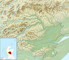
| Location | NO063781 |
| Coordinates | 56.5810°N 3.4436°W |
| Type | freshwater loch |
| Primary inflows | Lunan Burn |
| Primary outflows | Lunan Burn |
| Max. length | 410 m (1,350 ft)[1] |
| Max. width | 205 m (673 ft)[1] |
| Surface area | 50.6 ha (125 acres)[2] |
| Average depth | 8.8 m (29 ft)[1] |
| Max. depth | 21 m (69 ft)[1] |
| Water volume | 4,821,400 m3 (170,265,000 cu ft)[1] |
| Shore length1 | 3.2 km (2.0 mi) [2] |
| Surface elevation | 47 m (154 ft)[2] |
| Max. temperature | 16.8 °C (62.3 °F) |
| Min. temperature | 8.4 °C (47.2 °F) |
| Islands | 1 |
| 1 Shore length is not a well-defined measure. | |
References
- John, Murray; Lawrence, Pullar. Bathymetrical Survey of the Fresh-Water Lochs of Scotland, 1897-1909 Lochs of the Tay Basin Volume II - Loch of Clunie. National Library of Scotland: National Challenger Officer. p. 103. Retrieved 11 January 2019.

- "Loch of Clunie". British Lakes. Retrieved 11 January 2019.
| Wikimedia Commons has media related to Loch of Clunie. |
This article is issued from Wikipedia. The text is licensed under Creative Commons - Attribution - Sharealike. Additional terms may apply for the media files.