Little Creek Peak
Little Creek Peak is a mountain in eastern Iron County in southwestern Utah in the United States. the summit, at 10,145 feet (3,092 m) NAVD 88,[1] is about 29 miles (47 km) northeast of Cedar City between I-15 and U.S. Route 89. The mountain is in the Dixie National Forest.
| Little Creek Peak | |
|---|---|
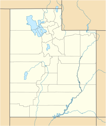 Little Creek Peak Location in Utah | |
| Highest point | |
| Elevation | 10,145 ft (3,092 m) NAVD 88[1] |
| Prominence | 1,180 feet (360 m) [1] |
| Coordinates | 37°52′52″N 112°36′43″W [2] |
| Geography | |
| Location | Iron County, Utah, U.S |
| Parent range | Markagunt Plateau |
| Topo map | USGS |
References
- "Little Creek Peak, Utah". Peakbagger.com. Retrieved 2016-04-20.
- "Little Creek Peak". Geographic Names Information System. United States Geological Survey. Retrieved 2016-04-20.
This article is issued from Wikipedia. The text is licensed under Creative Commons - Attribution - Sharealike. Additional terms may apply for the media files.