List of Indiana state historical markers in Putnam County
This is a list of the Indiana state historical markers in Putnam County.
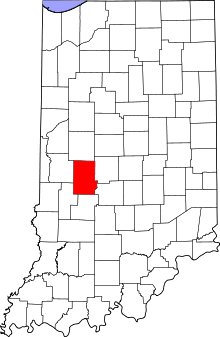
Location of Putnam County in Indiana
This is intended to be a complete list of the official state historical markers placed in Putnam County, Indiana, United States by the Indiana Historical Bureau. The locations of the historical markers and their latitude and longitude coordinates are included below when available, along with their names, years of placement, and topics as recorded by the Historical Bureau. There are 3 historical markers located in Putnam County.[1]
Historical markers
| Marker title | Image | Year placed | Location | Topics |
|---|---|---|---|---|
| 10 O'Clock Treaty Line[2] | 1966 | Westbound side of U.S. Route 40, 0.5 miles east of the Clay County line 39°32′58.2″N 87°0′15″W |
American Indian/Native American, Early Settlement and Exploration | |
| Portland Mills[3] | 1972 | Near the junction of County Roads 900W and 800N at the Calvert Shelter in the Portland Mills Picnic Area at Raccoon State Recreation Area 39°46′46.6″N 87°0′38.4″W |
Historic District, Neighborhoods, and Towns | |
| Kappa Alpha Theta[4] | 2006 | 904 College Road in Greencastle 39°38′10″N 86°51′45.6″W |
Women, Education |
See also
References
- "Indiana Historical Markers by County". State of Indiana. Retrieved 2012-03-15.
- 10 O'Clock Treaty Line, Indiana Historical Bureau, n.d. Accessed 2012-03-14.
- Portland Mills, Indiana Historical Bureau, n.d. Accessed 2012-03-14.
- Kappa Alpha Theta, Indiana Historical Bureau, n.d. Accessed 2012-03-14.
External links
Municipalities and communities of Putnam County, Indiana, United States | ||
|---|---|---|
| City | Map of Indiana highlighting Putnam County | |
| Towns | ||
| Townships | ||
| CDPs | ||
| Other unincorporated communities |
| |
| Footnotes | ‡This populated place also has portions in an adjacent county or counties | |
This article is issued from Wikipedia. The text is licensed under Creative Commons - Attribution - Sharealike. Additional terms may apply for the media files.