La Tourlandry
La Tourlandry is a former commune in the Maine-et-Loire department in western France.
La Tourlandry | |
|---|---|
Part of Chemillé-en-Anjou | |
Location of La Tourlandry 
| |
 La Tourlandry 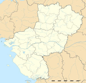 La Tourlandry | |
| Coordinates: 47°08′37″N 0°41′48″W | |
| Country | France |
| Region | Pays de la Loire |
| Department | Maine-et-Loire |
| Arrondissement | Cholet |
| Canton | Chemillé-Melay |
| Commune | Chemillé-en-Anjou |
| Area 1 | 19.34 km2 (7.47 sq mi) |
| Population (2006[1]) | 1,214 |
| • Density | 63/km2 (160/sq mi) |
| Demonym(s) | Landericien, Landericienne |
| Time zone | UTC+01:00 (CET) |
| • Summer (DST) | UTC+02:00 (CEST) |
| Postal code | 49120 |
| Elevation | 120–216 m (394–709 ft) (avg. 183 m or 600 ft) |
| 1 French Land Register data, which excludes lakes, ponds, glaciers > 1 km2 (0.386 sq mi or 247 acres) and river estuaries. | |
On 15 December 2015, Chanzeaux, La Chapelle-Rousselin, Chemillé-Melay, Cossé-d'Anjou, La Jumellière, Neuvy-en-Mauges, Sainte-Christine, Saint-Georges-des-Gardes, Saint-Lézin, La Salle-de-Vihiers, La Tourlandry and Valanjou merged becoming one commune called Chemillé-en-Anjou.
Geography
The commune is traversed by the Èvre river.
References
| Wikimedia Commons has media related to La Tourlandry. |
| Authority control |
|
|---|
This article is issued from Wikipedia. The text is licensed under Creative Commons - Attribution - Sharealike. Additional terms may apply for the media files.