La Cochette
La Cochette (or Pointe de la Cochette) is a mountain of the Chartreuse Mountains culminating at 1618 m above sea level[1] and located at the edge of Corbel, of Saint-Jean-de-Couz and of Entremont-le-Vieux in Savoie.
| La Cochette | |
|---|---|
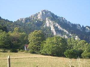 The view from the hamlet les Cruz (Corbel). | |
| Highest point | |
| Elevation | 1,618 m (5,308 ft) |
| Coordinates | 45°27′19″N 05°50′08″E |
| Geography | |
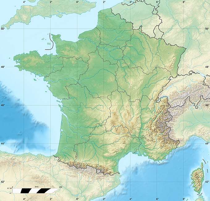 La Cochette France | |
| Location | Savoie, France |
| Parent range | Chartreuse Mountains |
| Climbing | |
| Easiest route | From the Col du Grapillon |
Geography
La Cochette is part of the Mount Outheran Range. The link extends to the south by its south antecime, the tip of the Grand Crêt, and ends at the Pointe de Thivelet.
The rocky crest of La Cochette is formed by limestones of Fontanil
Access
Access to the tip of the Cochette passes through the col du Grapillon.
Environmental protection
La Cochette is part of the Regional Natural Park of Chartreuse and the natural area of ecological, faunistic and floristic interest type II of the Chartreuse massif.
References
- "La Cochette – from Le Désert d'Entremont". grenoble-montagne.com. Archived from the original on March 3, 2016. Retrieved February 26, 2016.
This article is issued from Wikipedia. The text is licensed under Creative Commons - Attribution - Sharealike. Additional terms may apply for the media files.