Lönkytin
Lönkytin is an island in the Finnish sector of the Bay of Bothnia, off shore from the town of Haukipudas.
 | |
 Lönkytin | |
| Geography | |
|---|---|
| Coordinates | 65°14.35′N 25°04.05′E |
| Adjacent bodies of water | Bay of Bothnia |
| Administration | |
Finland | |
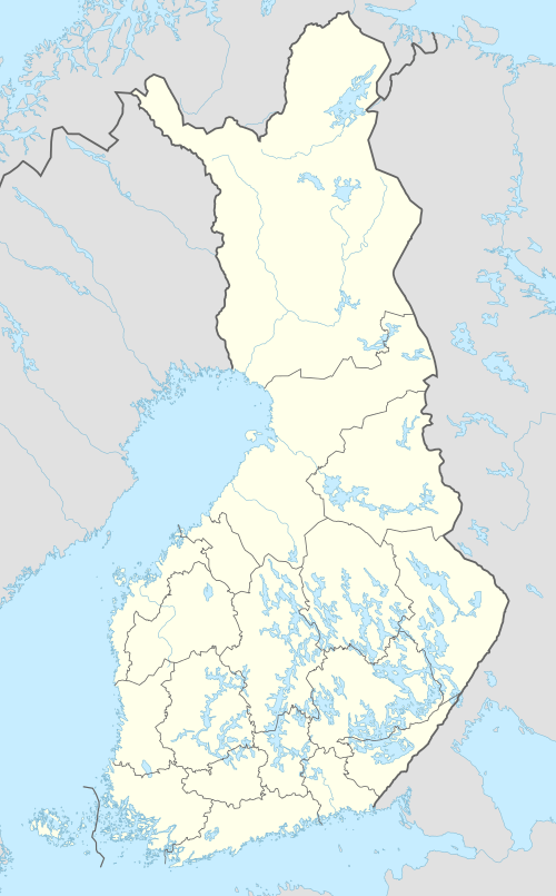
| Region | Northern Ostrobothnia |
| Subregion | Oulu |
| Municipality | Oulu |
| Demographics | |
| Population | Uninhabited |
Description
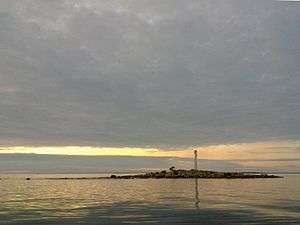
Lönkytin is a high, rocky islet. It is located about 10 kilometres (6.2 mi) west-northwest of the mouth of the Kiiminkijoki river, to the east of the Oulu and Kemi deep-water route. The island has a radar reflector.[1] It is near one of the deepest parts of the Finnish sector of the Gulf of Bothnia, at some places reaching a depth of 50 metres (160 ft).[2] The second-closest island to the east is Satakarinletto.
Gallery
 Lönkytin radar reflector
References
- Veneilijän merikarttasarja, sarja G: Perämeri, kartta 847 (Boater's nautical chart series, series G of Bothnia, map 847)
- Merikartta Perämeri osa 57 (Nautical chart of the Bay of Bothnia 57)
This article is issued from Wikipedia. The text is licensed under Creative Commons - Attribution - Sharealike. Additional terms may apply for the media files.