Lára, Cyprus
Lara or Lára (Greek:Λάρα) is a mountain in Ineia in the Paphos District of Cyprus.[1][2][3] Is located at 669 m above sea level.[4][5] The terrain around Lára is mainly hilly. The nearest larger community is Empa, 17.7 km south of Lára.[6] It receives 631 mm of rainfall annually.
Lára | |
|---|---|
 Location of Lára | |
| Nickname(s): Lara | |
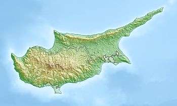 Lára Mountain in Ineia | |
| Coordinates: 34°57′45″N 32°22′37″E | |
| Country | |
| District | Paphos District |
| Elevation | 667 m (2,188 ft) |
| Highest elevation | 669 m (2,195 ft) |
| Time zone | UTC+2 (EET) |
| • Summer (DST) | UTC+3 (EEST) |
References
- "Lara mountain, Pafos, Cyprus". cy.geoview.info. Retrieved 2019-07-23.
- "GeoNames.org". www.geonames.org. Retrieved 2019-07-23.
- "Lara / Lara, Paphos, Cyprus, Asia". travelingluck.com. Retrieved 2019-07-23.
- Ekdoseis Horama (Firm) (c. 2011), Paphos : hodikos, touristikos chartēs eparchias & polēs = Paphos : regional road, tourist map & city plan, Ekdoseis Orama, ISBN 9789604486717, OCLC 840062150, retrieved 2019-07-23
- "Forecast for Lára". yr.no. Retrieved 2019-07-23.
- "Land Cover Classification (1 year) | NASA". Land Cover Classification (1 year) | NASA. 2019-07-23. Retrieved 2019-07-23.
This article is issued from Wikipedia. The text is licensed under Creative Commons - Attribution - Sharealike. Additional terms may apply for the media files.