Kvadehuken
Kvadehuken is a cape at the northwestern corner of Brøggerhalvøya, located at the southwestern side of outlet of Kongsfjorden, in Oscar II Land on Spitsbergen, Svalbard. The name is a Norwegian spelling of Dutch: Quade hoek (bad corner).[1][2]
| Kvadehuken | |
|---|---|
| Quade Hoek | |
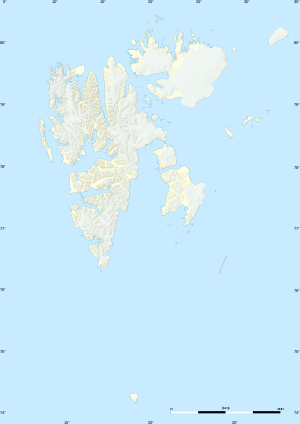 | |
| Location | Oscar II Land, Spitsbergen |
| Coordinates | 78°57′59″N 11°19′42″E |
The Norwegian geophysical station at Kvadehuken, a research facility, was established in 1920 by the Geophysical Institute of Tromsø. Brothers Hallvard and Finn Devold worked at the facility.[3] In October 1924, the station was wrapped up for financial reasons.[4]
References
- "Kvadehuken (Svalbard)". Norwegian Polar Institute. Archived from the original on 4 March 2016. Retrieved 4 March 2013.
- Arctic Pilot: Sailing directions Svalbard–Jan Mayen. 7. Stavanger: The Norwegian Hydrographic Service and The Norwegian Polar Institute. 1988. pp. 132, 256–257. ISBN 82-90653-06-9.
- Finn Devold – Norsk biografisk leksikon
- Roger Norum & James Proctor, Svalbard: Spitsbergen, Jan Mayen and Franz Josef Land, p. 191
This article is issued from Wikipedia. The text is licensed under Creative Commons - Attribution - Sharealike. Additional terms may apply for the media files.