Kumakahpan
Kumakahpan is a Wayana village in the Sipaliwini District of Suriname. The village lies on the banks of the Lawa River, which forms the border with French Guiana.[2]
Kumakahpan | |
|---|---|
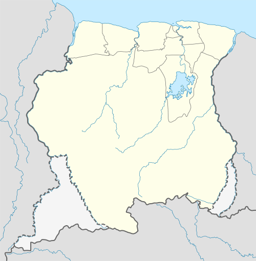 Kumakahpan Location in Suriname | |
| Coordinates: 3°21′40″N 54°3′31″W | |
| Country | Suriname |
| District | Sipaliwini District |
| Resort (municipality) | Tapanahony |
| Government | |
| • Captain | Aputu |
| Population (2020)[1] | |
| • Total | 27 |
Name
Kumakahpan means "place of the Kapok tree".[2]
Geography
Kumakahpan lies about 7 km (4.3 mi) downstream the Lawa River from the village of Antecume Pata and 5.5 km (3.4 mi) upstream the Lawa River from the villages of Kulumuli and Pïleike.
Notes
- "Dorpen en Dorpsbesturen". Vereniging van Inheemse Dorpshoofden in Suriname (in Dutch). Retrieved 27 May 2020.
- Boven 2006, p. 102.
References
Boven, Karin M. (2006). Overleven in een Grensgebied: Veranderingsprocessen bij de Wayana in Suriname en Frans-Guyana (PDF). Amsterdam: Rozenberg Publishers.CS1 maint: ref=harv (link)
This article is issued from Wikipedia. The text is licensed under Creative Commons - Attribution - Sharealike. Additional terms may apply for the media files.