Koës
Koës is a village in the ǁKaras Region of south-eastern Namibia. It is situated on the edge of the Kalahari desert and belongs to the Keetmanshoop Rural electoral constituency.[1] The average annual rainfall is about 150-200 mm.
Koës | |
|---|---|
settlement | |
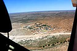 Bird's Eye View of Koës (2015) | |
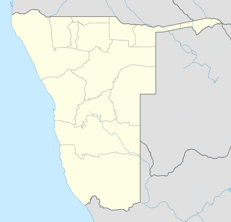 Koës Location in Namibia | |
| Coordinates: 25°57′S 19°07′E | |
| Country | |
| Region | ǁKaras Region |
| Constituency | Keetmanshoop Rural constituency |
| Time zone | UTC+2 (SAST) |
| Climate | BWh |
Politics
Koës is governed by a village council that currently has five seats.[2]
The 2015 local authority election was won by the SWAPO party which gained three seats (336 votes). One seat each went to the Democratic Turnhalle Alliance (DTA, 105 votes) and the Rally for Democracy and Progress (RDP, 57 votes).[3]
| Wikimedia Commons has media related to Koës. |
References
- Sasman, Catherine (10 November 2010). "Karas profile". New Era. Archived from the original on 15 May 2012.
- "Know Your Local Authority". Election Watch (3). Institute for Public Policy Research. 2015. p. 4.
- "Local elections results". Electoral Commission of Namibia. 28 November 2015. p. 3. Archived from the original on 10 December 2015.
This article is issued from Wikipedia. The text is licensed under Creative Commons - Attribution - Sharealike. Additional terms may apply for the media files.