King Salmon River (Admiralty Island)
The King Salmon River is a small stream on the northern tip of Admiralty Island of Southeast Alaska, United States.
| King Salmon River | |
|---|---|
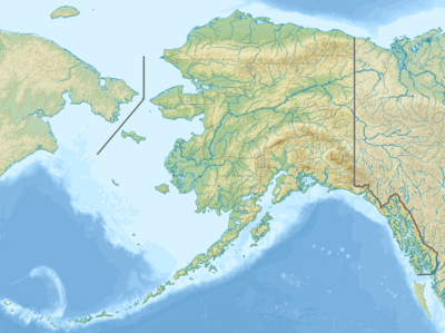 Location of the mouth of the King Salmon River in Alaska | |
| Location | |
| Country | United States |
| State | Alaska |
| Census Area | Hoonah–Angoon |
| Physical characteristics | |
| Source | Admiralty Island |
| • location | Kootznoowoo Wilderness, Admiralty Island National Monument |
| • coordinates | 58°03′41″N 134°32′22″W |
| • elevation | 2,847 ft (868 m)[1] |
| Mouth | King Salmon Bay, Seymour Canal |
• location | 18 miles (29 km) south of Juneau |
• coordinates | 58°02′31″N 134°20′27″W[2] |
• elevation | 10 ft (3.0 m)[2] |
| Length | 11 mi (18 km)[2] |
It flows eastward then south for a total distance of 11 miles (18 km) from headwaters in the low mountains just south of Eagle Peak into King Salmon Bay of the Seymour Canal. Its entire course lies within Kootznoowoo Wilderness of the Admiralty Island National Monument.
A relatively small river, it is not navigable. Besides its namesake king salmon, the river hosts a large annual run of pink salmon.
See also
References
- Derived by entering source coordinates in Google Earth.
- "King Salmon River". Geographic Names Information System. United States Geological Survey. March 31, 1981. Retrieved January 15, 2014.
This article is issued from Wikipedia. The text is licensed under Creative Commons - Attribution - Sharealike. Additional terms may apply for the media files.