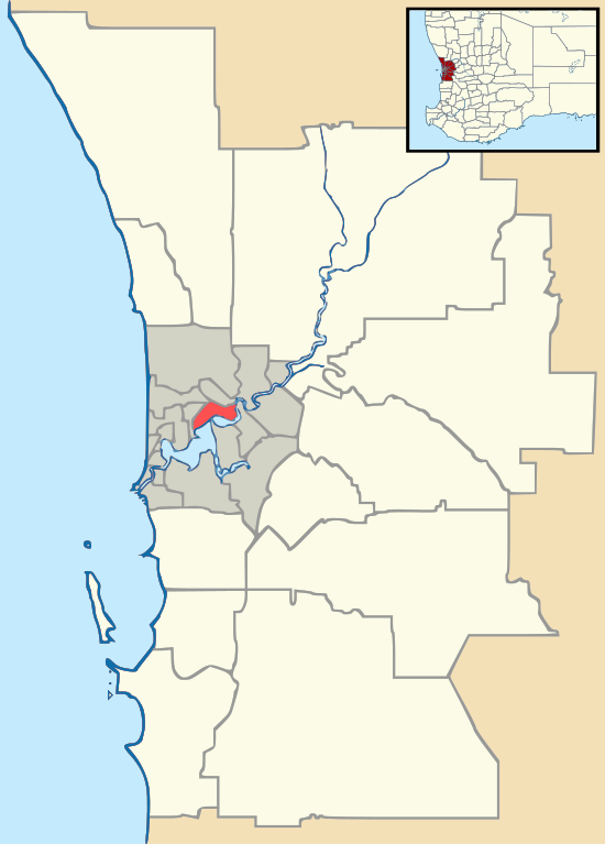
Kewdale, Western Australia
Kewdale is a suburb of Perth, Western Australia within the City of Belmont. Kew Street was one of the first roads in this district, hence the naming of the suburb.[2]
| Kewdale Perth, Western Australia | |||||||||||||||
|---|---|---|---|---|---|---|---|---|---|---|---|---|---|---|---|
 Kewdale | |||||||||||||||
| Coordinates | 31.978°S 115.951°E | ||||||||||||||
| Population | 5,439 (2006 census)[1] | ||||||||||||||
| Established | 1949 | ||||||||||||||
| Postcode(s) | 6105 | ||||||||||||||
| Location | 8 km (5 mi) from Perth | ||||||||||||||
| LGA(s) | City of Belmont | ||||||||||||||
| State electorate(s) | Belmont | ||||||||||||||
| Federal Division(s) | Swan | ||||||||||||||
| |||||||||||||||
Geography
Kewdale is bounded by Cloverdale and Perth Airport to the north, Belmont to the east and Welshpool and Carlisle to the south. The suburb is a mixture of residential to the west with commercial and industrial areas to the east. A number of notable parks and reserves can be found in the area including Tomato Lake, Willow Lake Park, Wicca Reserve, Peet and Peachy parks and smaller Cottage and Nance Parks to the east.
Transport
Kewdale is well serviced by several high frequency bus routes including 38, 39, 380 and 284 which offer direct connections to Perth Airport, Elizabeth Quay, Curtin University Bus Station, St Georges Terrace, Victoria Park and Oats Street Station
The Kewdale residential area is bound by main roads such as Orrong Road, Abernethy Road and Leach Highway
See also
- Australian Islamic College, Kewdale
- Kewdale Freight Terminal
- Kewdale Tavern
References
- Australian Bureau of Statistics (25 October 2007). "Kewdale (State Suburb)". 2006 Census QuickStats. Retrieved 5 October 2008.
- Western Australian Land Information Authority. "History of metropolitan suburb names – K". Retrieved 4 August 2008.