Kenson Park
Kenson Park is a neighbourhood located in College Ward in the west end of Ottawa, Ontario, Canada. It's bounded to the east by Woodroffe Avenue, to the north highway 417, to the south Baseline Road, and to the west "past Adirondack Drive".[1] The population for this area, according to the Canada 2016 Census was 429.[2]
Kenson Park | |
|---|---|
Neighbourhood | |
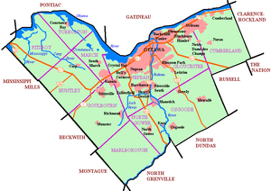 Kenson Park Location in Ottawa | |
| Coordinates: 45.356428°N 75.768334°W | |
| Country | Canada |
| Province | Ontario |
| City | Ottawa |
| Electoral district | Ottawa West—Nepean |
| Government | |
| • Mayor | Jim Watson |
| • MPs | Anita Vandenbeld |
| • MPPs | Jeremy Roberts |
| • Councillors | Rick Chiarelli |
| Area | |
| • Total | 0.32 km2 (0.12 sq mi) |
| Population (2016) | |
| • Total | 429 |
| • Density | 1,300/km2 (3,500/sq mi) |
| Canada 2016 Census | |
| Time zone | UTC−5 (Eastern (EST)) |
| • Summer (DST) | UTC−4 (EDT) |
The neighbourhood was built in the 1950s. It features Kenson Park, which is located on Adirondack Drive.[3] Iris Street runs through the neighbourhood. Iris Bus Station is a short distance away from the neighbourhood as well as the NCC bike path.
References
- https://kensonpark.wordpress.com/
- https://www12.statcan.gc.ca/census-recensement/2016/dp-pd/prof/details/page.cfm?Lang=E&Geo1=DA&Code1=35060475&Geo2=PR&Code2=01&Data=Count&SearchText=35060475&SearchType=Begins&SearchPR=01&B1=All&Custom=&TABID=3
- "Parks of Ottawa - West". Archived from the original on 2012-12-06. Retrieved 2012-12-16.
This article is issued from Wikipedia. The text is licensed under Creative Commons - Attribution - Sharealike. Additional terms may apply for the media files.