Kamo Site (Ishikawa)
The Kamo Site (加茂遺跡, Kamo iseki) is an archaeological site in what is now the town of Tsubata, Ishikawa in the Hokuriku region of Japan. The site was designated a National Historic Site of Japan in 2015.[1]
加茂遺跡 | |
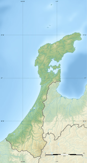 Kamo Site  Kamo Site (Ishikawa) (Japan) | |
| Location | Tsubata, Ishikawa, Japan |
|---|---|
| Region | Hokuriku region |
| Coordinates | 36°41′15″N 136°42′47″E |
| Type | settlement |
| Area | 46,804.96 sq.m. |
| History | |
| Periods | Nara to Heian period |
| Site notes | |
| Ownership | National Historic Site |
| Public access | Yes |
Overview
The site is located in the Agata neighbourhood of Tsunan town, where numerous relics from the Jōmon period through the Muromachi period have been discovered. The Kamo site was initially discovered during work on the banks of the Funabashi River in 1953, but was only excavated in the tear 2000 during construction work on a bypass for Japan National Route 8. The site consists of the ruins of what appears to be the foundations of local government buildings concerned with the management of stations on the Hokurikudo highway and a small warehouse group dating from the Nara through Heian period. The ruins of local government buildings from this period is very rare anywhere in the country, and numerous artefacts, including roof tiles, wooden tags, metal bands and fragments of writings were discovered.
Of especial note was a wooden signboard for the posting of tolls and official notices, on which the name "Kaga District" appears. This signboard is dated to the Kashō era, which spanned June 848 through April 851. The board measures 23.7 cm in length, 61.3 cm in width, 1.7 cm in thickness and is currently permanently on display at the Ishikawa Prefectural History Museum. It is an Important Cultural Property.[2]
References
- "加茂遺跡" [Kamo Site] (in Japanese). Agency for Cultural Affairs.
- "加賀郡牓示札(石川県加茂遺跡出土" [Kamo Site] (in Japanese). Agency for Cultural Affairs.
External links
- Tsubata home page (in Japanese)
- Ishikawa Prefectural home page (in Japanese)