Kalabo Airport
Kalabo Airport (IATA: KLB, ICAO: FLKL) is an airport serving the town of Kalabo, in Kalabo District and surrounding communities in the Western Province of Zambia.[1]
Kalabo Airport | |||||||||||
|---|---|---|---|---|---|---|---|---|---|---|---|
| Summary | |||||||||||
| Airport type | Public | ||||||||||
| Serves | Kalabo, Zambia | ||||||||||
| Elevation AMSL | 3,451 ft / 1,052 m | ||||||||||
| Coordinates | 14°59′55″S 22°38′50″E | ||||||||||
| Map | |||||||||||
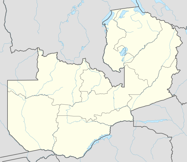 KLB Location of the airport in Zambia | |||||||||||
| Runways | |||||||||||
| |||||||||||
Location
The airport is 4 kilometres (2 mi) west of the town.[2] This is approximately 603.5 kilometres (375 mi), by air, north-west of Lusaka International Airport, the largest civilian airport in the county.[3] The geographical coordinates of Kalabo Airport are: 14°59'55.0"S, 22°38'50.0"E (Latitude:-14.998611; Longitude:22.647222).[4] Te airport sits at an average elevation of 1,052 metres (3,451 ft) above mean sea level.[1]
Overview
Kalabo Airport as a single paved runway 10/28 that measures 1,100 metres (3,609 ft) in length.[1]
Airlines and destinations
| Airlines | Destinations |
|---|---|
| Proflight Zambia | Livingstone,[5] Lusaka |
See also


- Transport in Zambia
- List of airports in Zambia
References
- Karl L. Swartz (16 June 2020). "Profile of Kalabo Airport, Zambia". Great Circle Mapper. Retrieved 16 June 2020.
- Google (16 June 2020). "Road Distance Between Kalabo and Kalabo Airport" (Map). Google Maps. Google. Retrieved 16 June 2020.
- Distance.1km.net (16 June 2020). "Air Distance between Lusaka Airport and Kalabo Airport". Distance.1km.net. Retrieved 16 June 2020.
- Google (16 June 2020). "Location of Kalabo Airport, Zambia" (Map). Google Maps. Google. Retrieved 16 June 2020.
- Jim Liu (7 November 2018). "ProFlight Zambia adds Livingstone – Kalabo route from January 2019". Manchester, United Kingdom: Routesonline.com. Retrieved 16 June 2020.
This article is issued from Wikipedia. The text is licensed under Creative Commons - Attribution - Sharealike. Additional terms may apply for the media files.