Jutaí River
The Jutaí River (Portuguese: Rio Jutaí) is a river in Amazonas state in north-western Brazil.
| Jutaí River | |
|---|---|
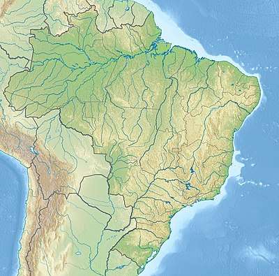 | |
| Native name | Rio Jutai (Portuguese) |
| Location | |
| Country | Brazil |
| Physical characteristics | |
| Source | |
| • location | State of Amazonas |
| Mouth | |
• location | Jutaí, Amazon River |
• coordinates | 2.745032°S 66.785708°W |
| Length | 1050 km[1] |
| Basin features | |
| River system | Amazon River |
| Tributaries | |
| • left | Copatana River, Pati River |
| • right | Biá River, Mutum River, Jutaizinho River |
Course
The river flows through the Juruá-Purus moist forests ecoregion.[2] The Jutaí river runs northeast before reaching its mouth on the southern bank of the Amazon River (Solimões section). It is west of the Juruá River, and is roughly parallel to the lower Juruá.
The 2,450,380 hectares (6,055,000 acres) Cujubim Sustainable Development Reserve, established in 2003, lies on either side of the river in the municipality of Jutaí.[3] It is the largest conservation unit in Amazonas and the largest sustainable development reserve in the world.[4] Further downstream the river forms the boundary between the 275,533 hectares (680,860 acres) Rio Jutaí Extractive Reserve, created in 2002, to the southeast and the Jutaí-Solimões Ecological Station to the northwest.[5]
See also
References
- Ziesler & Ardizzone 1979.
- Sears, Robin, South America: Amazon Basin, northwestern Brazil (NT0133), WWF: World Wildlife Fund, retrieved 2017-03-28
- RDS Cujubim – ISA, Informações gerais.
- RDS Cujubim – ISA, Características.
- RESEX do Rio Jutaí – ISA, Informações gerais (mapa).
Sources
- RDS Cujubim (in Portuguese), ISA: Instituto Socioambiental, retrieved 2016-07-25
- RESEX do Rio Jutaí (in Portuguese), ISA: Instituto Socioambiental, retrieved 2016-10-21
- Ziesler, R.; Ardizzone, G.D. (1979), "Amazon River System", The Inland waters of Latin America, Food and Agriculture Organization of the United Nations, ISBN 92-5-000780-9, archived from the original on 8 November 2014