Intercourse Island
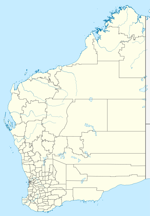
Intercourse Island is an uninhabited island in the Dampier Archipelago, in the Pilbara region of Western Australia.
 Intercourse Island | |
| Geography | |
|---|---|
| Location | Indian Ocean |
| Coordinates | 20°39′12.204″S 116°38′45.96″E |
| Archipelago | Dampier |
| Area | 25 ha (62 acres) |
| Length | 1 km (0.6 mi) |
| Width | 0.6 km (0.37 mi) |
| Administration | |
| Electoral Division | Division of Durack |
| State electorate | Pilbara |
| LGA | City of Karratha |
| Demographics | |
| Population | 0 |
| Ethnic groups | Yinidbarndi, Yaburara, Mardudhunera, Woon-goo-tt-oo[1] |
| Additional information | |
| Time zone |
|
It is about 1,300km north of the state capital Perth.
Although Intercourse Island and its surrounding area are almost uninhabited, with a density of less than two people per square kilometre,[2] it is located in a major minerals export area. The climate conditions in the area are arid. The average annual rainfall is 409 millimeters. The wettest month is January, with an average of 148mm of precipitation, and the driest is August, with 1mm of precipitation.[3]
Nearby islands
- Mistaken Island
- Haycock Island (Western Australia)
- East Lewis Island
- East Intercourse Island
- East Mid Intercourse Island
- West Mid Intercourse Island
- West Intercourse Island
References
- "Indigenous owners 'left out' of rock art site's world heritage listing talks". The Guardian. 22 March 2018. Retrieved 21 January 2019.
- "NASA Earth Observations: Population Density". NASA/SEDAC. Retrieved 30 January 2016.
- "NASA Earth Observations: Rainfall (1 month - TRMM)". NASA/Tropical Rainfall Monitoring Mission. Retrieved 30 January 2016.
This article is issued from Wikipedia. The text is licensed under Creative Commons - Attribution - Sharealike. Additional terms may apply for the media files.