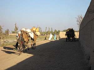
Imam Sahib
Imām Ṣāhib (Pashto/Persian: امام صاحب) is a town in the Kunduz Province of Afghanistan, center of the Imam Sahib District. It is sometimes called Khwaja or Hazrat.[1] Baba Hatim Ziyarat is located on the outside of Imam Sahib. The port of Shir Khan Bandar is located to the west of the town.
Imam Sahib امام صاحب | |
|---|---|
Town | |
 | |
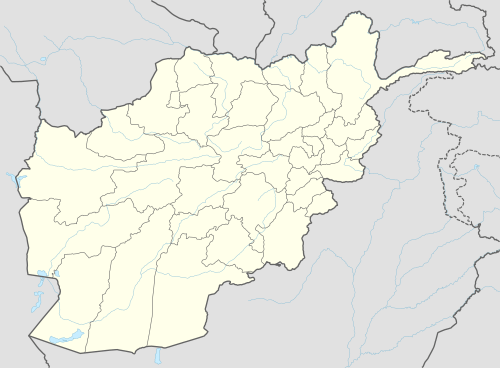 Imam Sahib Location in Afghanistan | |
| Coordinates: 37°11′4″N 68°54′52″E | |
| Country | |
| Province | Kunduz Province |
| District | Imam Sahib District |
| Occupation | |
| Elevation | 1,112 ft (339 m) |
| Population | |
| • Total | 9,691 |
| Time zone | UTC+4:30 |
Climate
With an influence from the local steppe climate, Imam Sahib features a cold semi-arid climate (BSk) under the Köppen climate classification. The average annual temperature in Imam Sahib is 17.1 °C, while the annual precipitation averages 307 mm.
July is the hottest month of the year with an average temperature of 30.2 °C. The coldest month January has an average temperature of 3.4 °C.
| Climate data for Imam Sahib | |||||||||||||
|---|---|---|---|---|---|---|---|---|---|---|---|---|---|
| Month | Jan | Feb | Mar | Apr | May | Jun | Jul | Aug | Sep | Oct | Nov | Dec | Year |
| Average high °C (°F) | 8.2 (46.8) |
11.4 (52.5) |
17.1 (62.8) |
23.8 (74.8) |
30.3 (86.5) |
37.0 (98.6) |
38.5 (101.3) |
36.8 (98.2) |
32.1 (89.8) |
25.1 (77.2) |
16.7 (62.1) |
10.5 (50.9) |
24.0 (75.1) |
| Daily mean °C (°F) | 3.4 (38.1) |
6.3 (43.3) |
11.6 (52.9) |
17.7 (63.9) |
22.9 (73.2) |
28.4 (83.1) |
30.2 (86.4) |
28.4 (83.1) |
23.4 (74.1) |
17.2 (63.0) |
10.2 (50.4) |
5.3 (41.5) |
17.1 (62.8) |
| Average low °C (°F) | −1.3 (29.7) |
1.3 (34.3) |
6.2 (43.2) |
11.6 (52.9) |
15.5 (59.9) |
19.9 (67.8) |
21.9 (71.4) |
20.0 (68.0) |
14.7 (58.5) |
9.4 (48.9) |
3.8 (38.8) |
0.2 (32.4) |
10.3 (50.5) |
| Source: Climate-Data.org[2] | |||||||||||||
See also
References
- National Geospatial-Intelligence Agency. Geonames database entry. (search) Accessed 2011-05-12.
- "Climate: Imam Sahib - Climate-Data.org". Retrieved 9 September 2016.
This article is issued from Wikipedia. The text is licensed under Creative Commons - Attribution - Sharealike. Additional terms may apply for the media files.