Hum (Pešter)
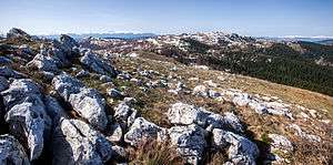
Hum (Serbian Cyrillic: Хум) is a mountain on the border of Serbia and Montenegro, between towns of Sjenica and Rožaje, on the eastern edge of Pešter plateau. Its highest peak Krstača has an elevation of 1,756 meters above sea level.[2]
| Hum | |
|---|---|
 | |
| Highest point | |
| Elevation | 1,756 m (5,761 ft) [1] |
| Coordinates | 43°02′34″N 20°00′44″E |
| Geography | |
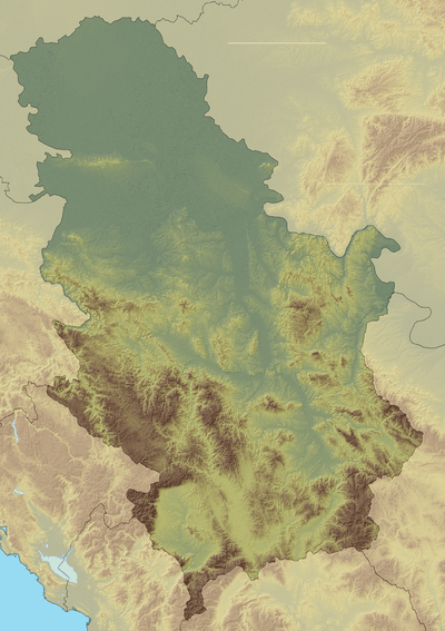 Hum Location in Serbia, on the border with Montenegro | |
| Location | Serbia / Montenegro |
| Parent range | Dinaric Alps |
References
- Jovan Đokić. "Katalog planina Srbije". PSD Kopaonik Beograd. Archived from the original on 2011-05-18.
- "Prirodne karakteristike". Municipality of Sjenica.
This article is issued from Wikipedia. The text is licensed under Creative Commons - Attribution - Sharealike. Additional terms may apply for the media files.