Hogback Mountain (Klamath County, Oregon)
Hogback Mountain or Hogsback Mountain is a large hill northeast of Klamath Falls, Oregon, United States. Hogback was named because from Klamath Falls, the hill looks similar to the shoulders of a pig.
| Hogback Mountain | |
|---|---|
 Hogback Mountain viewed from Klamath Falls, OR | |
| Highest point | |
| Elevation | 6,205 ft (1,891 m) NAVD 88[1] |
| Prominence | 1,280 ft (390 m) [2] |
| Coordinates | 42°14′35″N 121°42′21″W [1] |
| Geography | |
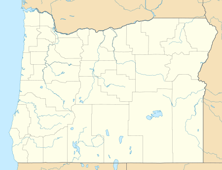 Hogback Mountain Location in Oregon | |
| Location | Klamath County, Oregon, U.S. |
| Parent range | Cascades |
| Topo map | USGS Altamont |
| Climbing | |
| Easiest route | Hike, mountain bike |
The majority of Hogback is privately owned, but open to hikers. Fence tampering and all-terrain vehicle (ATV) use is strictly prohibited due to livestock activities on the mountain and surrounding areas. No hunting or firearms are allowed on the mountain without written permission.
For hiker safety, there is no public access to the mountain during open deer rifle season which ran October 2–13, 2010 and Oct. 23 – Oct. 31, 2010. This is due to landowners and their guests' hunting activities on this mountain.
References
- "Hogback". NGS data sheet. U.S. National Geodetic Survey. Retrieved 2008-11-22.
- "Hogback Mountain, Oregon". Peakbagger.com. Retrieved 2016-04-30.
External links
- "Hogback Mountain Lookout". Forest Fire Lookout Association. Archived from the original on 2016-04-25. Retrieved 2016-04-30.
- "Hogback Mountain". Geographic Names Information System. United States Geological Survey.
This article is issued from Wikipedia. The text is licensed under Creative Commons - Attribution - Sharealike. Additional terms may apply for the media files.