Hochwang
The Hochwang is a mountain of the Plessur Alps, located between the valleys of Schanfigg and Prättigau in the canton of Graubünden. With a height of 2,534 metres above sea level, it is the highest summit of the chain lying west of Durannapass. Several trails lead to its summit. The closest locality is Castiel.
| Hochwang | |
|---|---|
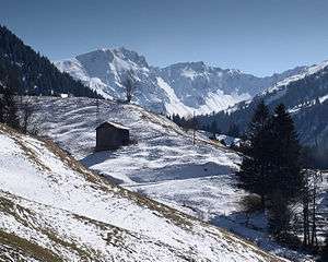 View from Valzeina (north side) | |
| Highest point | |
| Elevation | 2,534 m (8,314 ft) |
| Prominence | 417 m (1,368 ft) [1] |
| Parent peak | Aroser Rothorn |
| Isolation | 9 km (5.6 mi) |
| Listing | Alpine mountains 2500-2999 m |
| Coordinates | 46°52′27.1″N 9°37′58.3″E |
| Geography | |
 Hochwang Location in Switzerland | |
| Location | Graubünden, Switzerland |
| Parent range | Plessur Alps |
References
- Retrieved from the Swisstopo topographic maps. The key col is the Durannapass (2,117 m).
This article is issued from Wikipedia. The text is licensed under Creative Commons - Attribution - Sharealike. Additional terms may apply for the media files.