Higravstinden
Higravtindan or Higravstindan is the tallest mountain on the island of Austvågøya in the Lofoten archipelago in Nordland county, Norway. It is located on the border of Hadsel Municipality and Vågan Municipality. The village of Laupstad and the European route E10 highway are located about 3 kilometres (1.9 mi) west of the mountain and the village of Liland is located about 3 kilometres (1.9 mi) southwest of the mountain. There is a glacier located on the east side of the mountain.[2]
| Higravtindan | |
|---|---|
 | |
| Highest point | |
| Elevation | 1,146 m (3,760 ft) |
| Prominence | 1,146 m (3,760 ft) |
| Isolation | 32.7 to 32.9 km (20.3 to 20.4 mi) |
| Coordinates | 68.3570°N 14.7923°E [1] |
| Geography | |
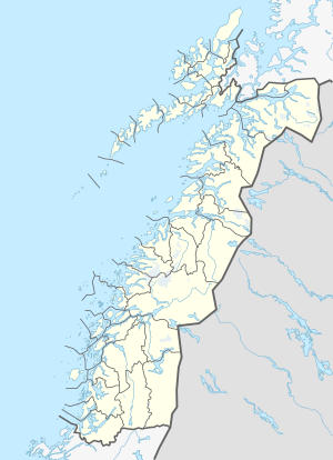 Higravtindan Location of the mountain  Higravtindan Higravtindan (Norway) | |
| Location | Nordland, Norway |
| Topo map | N1131 I Austvågøya |
References
- "Higravtindan, Hadsel (Nordland)" (in Norwegian). yr.no. Retrieved 2018-12-20.
- Thorsnæs, Geir, ed. (2016-07-04). "Higravtindan". Store norske leksikon (in Norwegian). Kunnskapsforlaget. Retrieved 2018-12-20.
This article is issued from Wikipedia. The text is licensed under Creative Commons - Attribution - Sharealike. Additional terms may apply for the media files.