Harsil
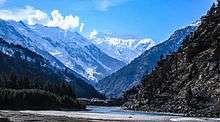
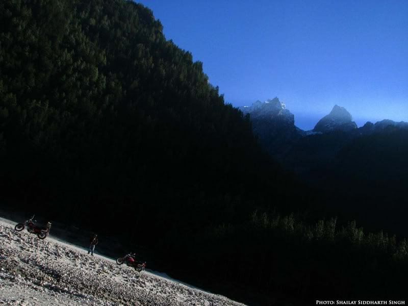
Harsil is a hill station and an army area on the banks of the Bhagirathi River, on the way to the Hindu pilgrimage, Gangotri, in Uttarkashi district of the Indian state of Uttarakhand).[1]
Harsil | |
|---|---|
village | |
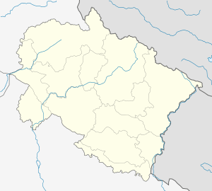 Harsil Location in Uttarakhand, India | |
| Coordinates: 31°02′N 78°44′E | |
| Country | |
| State | Uttarakhand |
| Elevation | 2,620 m (8,600 ft) |
| Languages | |
| • Official | Hindi |
| Time zone | UTC+5:30 (IST) |
| Vehicle registration | UK |
| Website | uk |
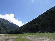
Situated at a height of 7,860 ft (2,620 metres.) from sea level, Harshil lies 73 km. from Uttarkashi, and 30 km away from Harshil lies the Gangotri National Park, spread over 1,553 square km.
Geography
Delhi-Hardwar-Harshil Ridge (DHHR), the basement ridge is a northerly extension of the Aravalli Mountain Belt, which also trends in a NNE-SSW direction and stretches from Amba Mata-Deri (Gujarat-Rajasthan) to Delhi via Ajmer and Jaipur.[2]
Demographic
Over the years, a small number of Jadhs, an ethnic group of the Bhotiyas, have settled here, and speak a language closely resembling Tibetan.
Pilgrimage
The idol of the Hindu River Goddess Ganga (Ganges) is brought down from the shrine at Gangotri in the upper Himalayas after Diwali and kept at 'Mukhba' village near Harshil. It remains there throughout the winter when Gangotri is snowbound and inaccessible.
Army Area
It is an army area, not a permanent cantonment. It is a base camp of "The Garhwal Scouts" and "Indo-Tibetan Border Police (ITBP)". Despite being a small army area, it is very important because of its nearness to China Border.
Defence Agricultural Research Laboratory
A detachment of the Defence Agricultural Research Laboratory run by the Defence Research and Development Organisation (DRDO), was established here in May 1973.
References
- Harshil Archived 17 June 2008 at the Wayback Machine Uttarakhand Official website.
- Delhi-Hardwar-Harshil Ridge (DHHR)