Harker, Cumbria
Harker is a settlement in the parish of Rockcliffe, in the City of Carlisle district, in the county of Cumbria, England. Harker is located along the A7 road[1] on the Solway Plain. Harker is situated approximately two miles north of the course of Hadrian's Wall.
| Harker | |
|---|---|
 Geese at Harker | |
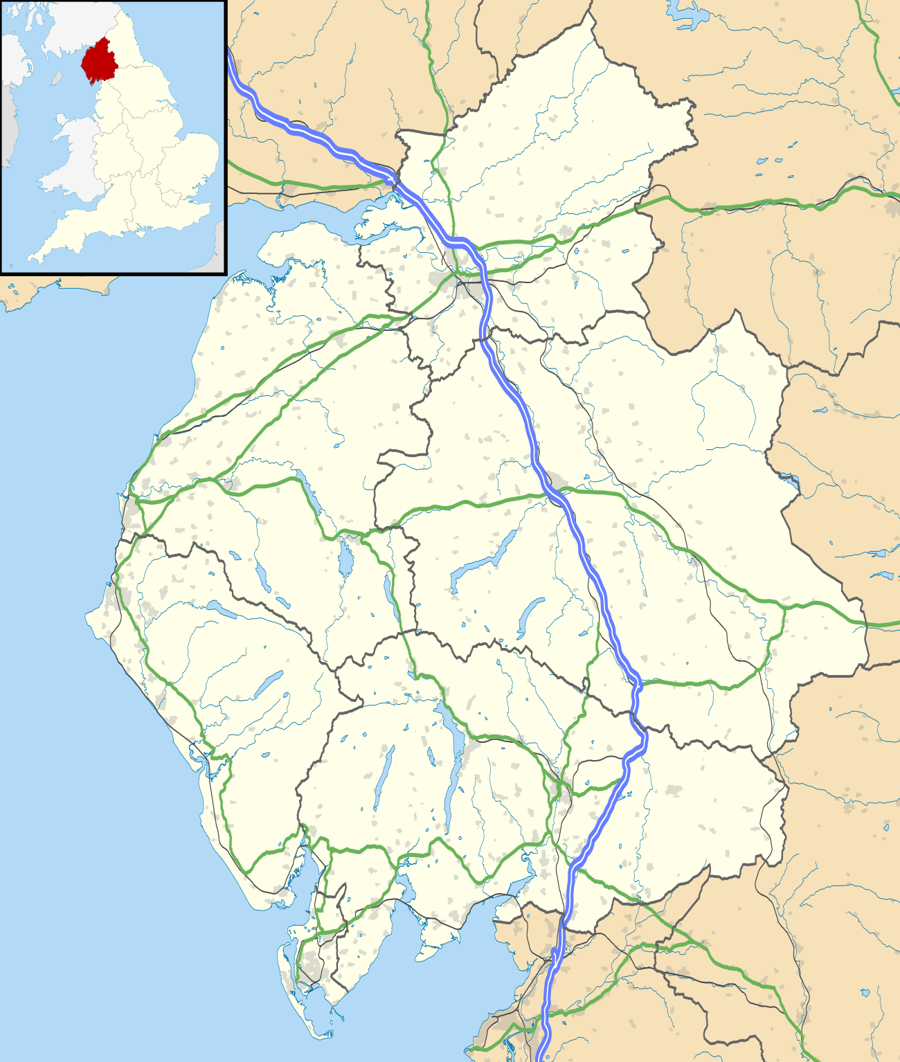 Harker Location within Cumbria | |
| OS grid reference | NY395607 |
| Civil parish | |
| District | |
| Shire county | |
| Region | |
| Country | England |
| Sovereign state | United Kingdom |
| Post town | CARLISLE |
| Postcode district | CA6 |
| Dialling code | 01228 |
| Police | Cumbria |
| Fire | Cumbria |
| Ambulance | North West |
| UK Parliament | |
From 1862, Harker was served by a railway station, sited on the Waverley route that linked Carlisle and Edinburgh. The station was closed to passengers in 1929. It reopened (unstaffed) in 1936 to serve Carlisle airfield and remained intermittently in use, serving local RAF airfield and Maintenance Unit 14MU operations, as well as the local community, until the closure of the line in 1969.
Harker is also associated with the Surname Harker.[2]
References
| Wikimedia Commons has media related to Harker, Cumbria. |
- Philip's Motorist's Atlas: 2004, Octopus Publishing Group, London, England
- http://www.ancestry.com/name-origin?view=1&surname=harker
This article is issued from Wikipedia. The text is licensed under Creative Commons - Attribution - Sharealike. Additional terms may apply for the media files.