Handia, Uttar Pradesh
Handia is a town and a nagar panchayat in East Of Allahabd District Uttar Pradesh in the Indian state of Uttar Pradesh.
Handia | |
|---|---|
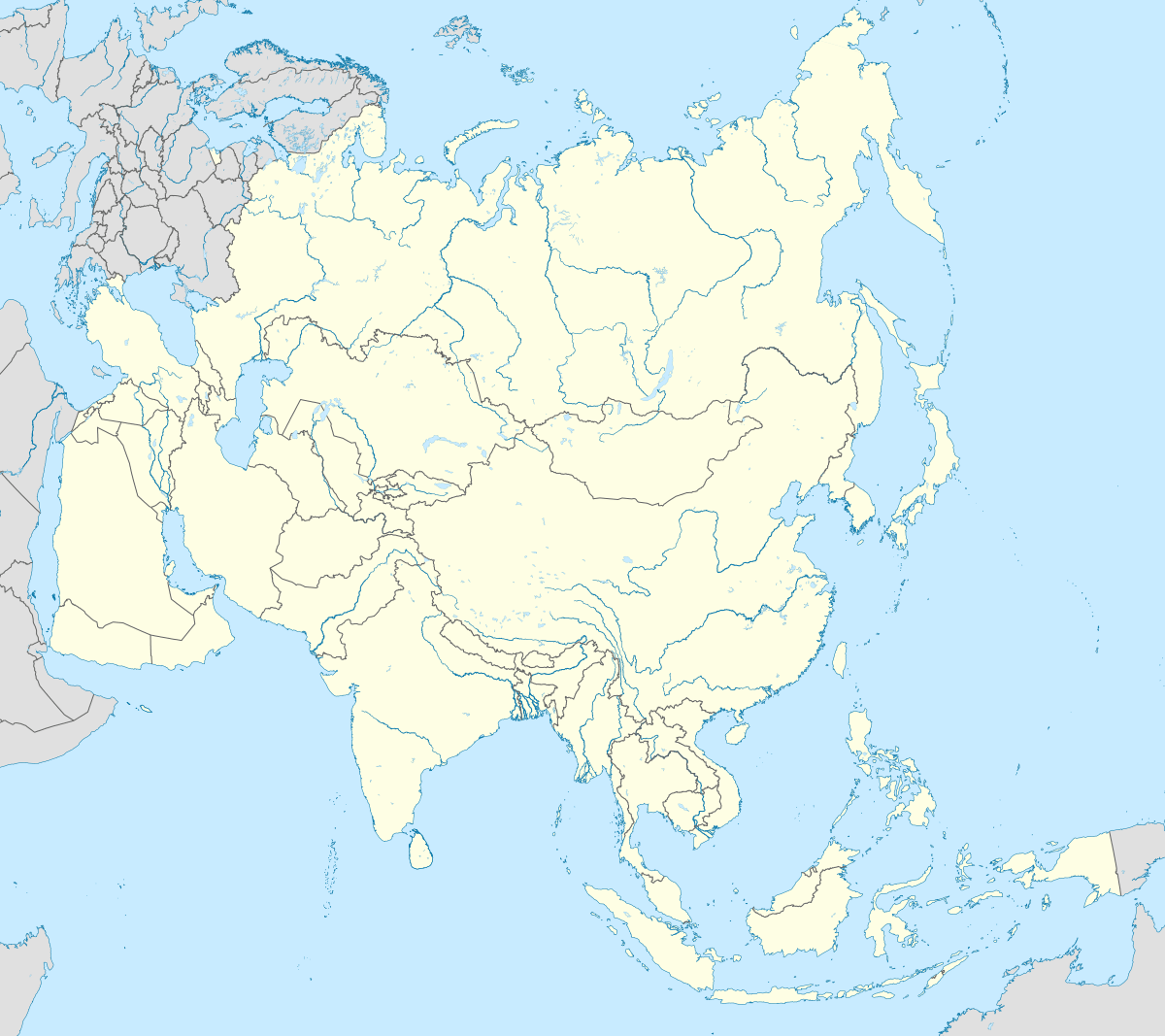
 Handia Location in Uttar Pradesh, India  Handia Handia (India)  Handia Handia (Asia) | |
| Coordinates: 25.38°N 82.18°E | |
| Country | |
| State | Uttar Pradesh |
| District | Allahabad |
| Elevation | 92 m (302 ft) |
| Population (2011)[1] | |
| • Total | 21,798 |
| Language | |
| • Official | Hindi[2] |
| • Additional official | Urdu[2] |
| Time zone | UTC+5:30 (IST) |
| PIN | |
| Telephone code | 05414 |
| Vehicle registration | UP 70 |
| Sex ratio | 871 ♂/♀ |
Geography
Handia is located at 25.38°N 82.18°E.[3] It has an average elevation of 92 metres (301 feet). It is the Tehsil comes on the way of NH-2 also popularly known as G.T. Road (Grand Trunk Road) National Highways of India Ganga or Ganges is the only main river in this area. And Ganga is five kilometers from Handia market in South direction
Demographics
As of 2011 Indian Census, Handia had a total population of 21,798, of which 11,493 were males and 10,305 were females. Population within the age group of 0 to 6 years was 3,494. The total number of literates in Handia was 13,325, which constituted 61.1% of the population with male literacy of 68.9% and female literacy of 52.5%. The effective literacy rate of 7+ population of Handia was 72.8%, of which male literacy rate was 81.6% and female literacy rate was 62.9%. The Scheduled Castes population was 3,010. Handia had 3133 households in 2011.[1]
As of the 2001 Census of India,[4] Handia had a population of 12681. Males constitute 52% of the population and females 48%. Handia has an average literacy rate of 52%, lower than the national average of 59.5%: male literacy is 63%, and female literacy is 59%. In Handia, 20.5% of the population is under 6 years of age. Out of these populations, 98% live in rural areas and rest of them reside in urban areas. They all are inhabited in 2245 number of households.[5][6]
Handia assembly constituency has around 60,000 Brahmins, 70,000 Binds coming under backward classes, 90,000 Muslims, 40,000 Rajputs and 50,000 Yadav.[7]
Educational institutes
National Inter College is most renowned educational institute in the region and was established in 1946. This college was inaugurated by Lal Bahadur Shastri (Second prime minister of India). HMFA Memorial inst. of engg. and technology and Handia polytechnic technical institutes in the region. An ayurvedic medical college named after Lal Bahadur Shastri. PG College Handia. Maharshi inter college, and postgraduate college [8] is very good destination for those who are seeking for higher education.
Tourist places
Lakshagraha (लाक्षागृह), Sitamarhi (सीतामढ़ी) where the goddess Sita were entered in to the earth,Kundaura Mahadeva (कुंदौरा महादेव) Near to Khijirihan village is also a famous religious spot widely known as Mahadev Temple which is well known for their spiritual & cultural activities such as Mahashivratri Festival for Kanwar Yatra (काँवर यात्रा) and Yagya was also arranged,Baba belnath Dham बाबा बेलनाथ धाम ट्रस्ट (belnath mandir)near to baraut puregobai village for kanwar yatra and every tuesday fair shiv pooja and yagya was also arranged by Director-Ray sahab yadav,as Nimahra ( निमहरादेवी ) (In Saidabad) and Baraut are main tourist spots of Handia. Lakshagrih and Ranka are main ghats of Handia. Judaipur,Saidabad, Amora and Kallahawa are some of the local markets.(Village Damghra) this majar is Historical Place in Damghra Sareef Handia Allahabad 250 years old the copy of taz mahel
Election synopsis
Handia is one of the constituencies for assembly election of Allahabad district in state of Uttar Pradesh. As per the details published on 2 January 2012, by Chief Electoral Officer of Uttar Pradesh there are 315994 voters registered in Handia assembly, out of these around 56% are Male voters while remaining 44% comprise female voters.[9]
Mythology
Handia was supposedly named after Hidimba. Indian epic Mahabharat's Lakshagraha is described to be situated at the bank of river Ganga in Handia.
References
- "Census of India: Handia". www.censusindia.gov.in. Retrieved 3 January 2020.
- "52nd REPORT OF THE COMMISSIONER FOR LINGUISTIC MINORITIES IN INDIA" (PDF). nclm.nic.in. Ministry of Minority Affairs. Archived from the original (PDF) on 25 May 2017. Retrieved 30 December 2018.
- "Maps, Weather, and Airports for Handia, India". www.fallingrain.com. Retrieved 29 March 2020.
- "Census of India 2001: Data from the 2001 Census, including cities, villages and towns (Provisional)". Census Commission of India. Archived from the original on 16 June 2004. Retrieved 1 November 2008.
- "Archived copy" (PDF). Archived from the original (PDF) on 28 April 2011. Retrieved 20 January 2012.CS1 maint: archived copy as title (link)
- "Handia Allahabad PinCode". citypincode.in. Retrieved 10 March 2014.
- "Result a wake-up call for BJP and Congress | Lucknow News - Times of India". The Times of India. Retrieved 29 March 2020.
- "Handia Post Graduate College, Handia, Allahabad (U.P.)". www.handiapgcollege.org. Retrieved 29 March 2020.
- http://ceouttarpradesh.nic.in/district_stat.aspx