Hammonds Plains, Nova Scotia
Hammonds Plains (2011 population: 11,556) is a suburban community located in Halifax Regional Municipality, Nova Scotia, Canada
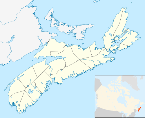
The community is situated along the isthmus of the Chebucto Peninsula with its centre located along Highway 213 (Hammonds Plains Road) approximately midway between Bedford in the east and Upper Tantallon in the west.
The community's border is defined by the Government of Nova Scotia and it is adjacent to Lucasville and Bedford in the east, Timberlea and Stillwater Lake and Upper Tantallon in the south, Upper Hammonds Plains in the west, and Upper Sackville and Middle Sackville in the north.[1]
History
Hammonds Plains was established as a settlement area for United Empire Loyalists in 1786 along a road running from Birch Cove on Bedford Basin to St. Margaret's Bay. Landowners voted to name the road after the popular outgoing Lt. Governor Andrew Snape Hamond.[2] Further settlers arrived with disbanded soldiers from the Napoleonic Wars and Black Refugees from the War of 1812. The settlement was also the eastern end of the Old Annapolis Road intended to create a settled corridor and transportation link between Halifax and Annapolis Royal. While the Annapolis Road never developed, settlement opened up the a modest amount of viable farmland and more significantly developed many saw mills.
Geography
The Hammonds Plains region is rich in small lakes and is a dormitory area for Halifax. Many homes lie on large unserviced lots, except in the Kingswood subdivision where 90% of the units have municipal water service and along the Hammonds Plains Road itself where there are several small businesses involved in automobile repair, waste management, physiotherapy clinics, and other maintenance activities. The population grew rapidly in the 1990s, particularly in subdivisions at the western end of the Hammonds Plains Road. Halifax's water comes from Pockwock Lake which lies north of Hammonds Plains.
Residential subdivisions
- Blue Mountain Estates
- Kingswood
- Kingswood North
- Uplands Park
- Cedarwood
- Glen Arbour
- Highland Park
- White Hills
- Maplewood
- Voyaguer Lakes
- Waterstone
- Perry Pond
Schools
Schools which service residents of Hammonds Plains include:
Servicing Blue Mountain Estates, Kingswood, and Kingswood North
- Kingswood Elementary School
- Madeline Symonds Middle School
- Charles P. Allen High School (Bedford)
Servicing Cedarwood, Glen Arbour, Highland Park, Maplewood, and White Hills
- Hammonds Plains Consolidated School
- Madeline Symonds Middle School
- Charles P. Allen High School (Bedford)
Notable residents
Activities
An annual cycling event called Close To Home: The Tour of Hammonds Plains links the earliest settled areas with the new subdivisions.
References
- "NSCAF Civic Address Finder". Department of Service Nova Scotia and Municipal Relations. Missing or empty
|url=(help) - Hamond, Andrew Snape, Dictionary of Canadian Biography