Hamayun, Afghanistan
Hamāyūn[1] (Homāyūn,[2] Khamayun,[3] همایون,[4]) is a village in Kapisa Province of Afghanistan. Hamayun lies on the eastern slope of Mt. Nēshar.[5]
Hamayun همایون Khamayun, Homayun | |
|---|---|
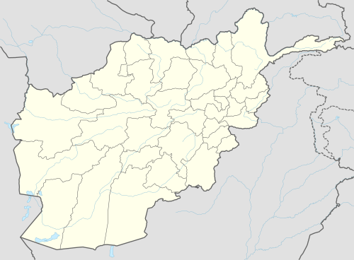 Hamayun Location in Afghanistan | |
| Coordinates: 35°05′35″N 69°33′11″E | |
| Country | |
| Province | Kapisa |
| District | Mahmud Raqi |
| Time zone | UTC+4:30 |
Notes
- Hamāyūn (Approved) at GEOnet Names Server, United States National Geospatial-Intelligence Agency
- Homāyūn (Variant) at GEOnet Names Server, United States National Geospatial-Intelligence Agency
- Khamayun (Variant) at GEOnet Names Server, United States National Geospatial-Intelligence Agency
- همایون (Native Script) at GEOnet Names Server, United States National Geospatial-Intelligence Agency
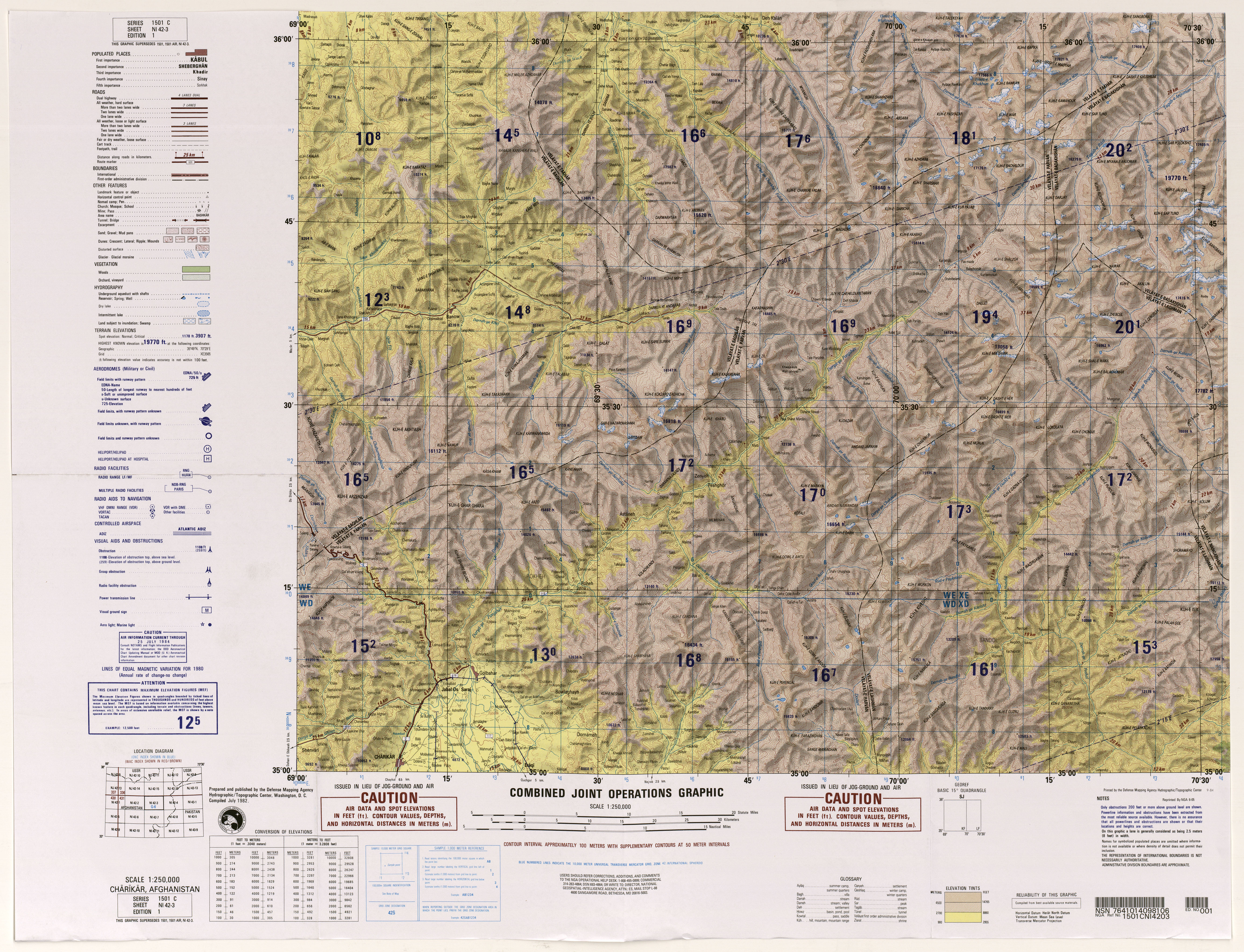
- Hydrographic/Topographic Center, Defense Mapping Agency (1982), 1:250,000 Topographic Map, NI 42-3, Charikar, Afghanistan, Series 1501C, United States National Geospatial-Intelligence Agency
This article is issued from Wikipedia. The text is licensed under Creative Commons - Attribution - Sharealike. Additional terms may apply for the media files.