Tác
Tác is a village in Hungary. In the time of Roman Empire it was known as Gorsium-Herculia. An open-air museum presents the ruins.
Tác Gorsium / Herculia (in Latin) | |
|---|---|
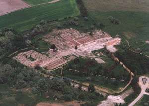 Aerial view of Tác | |
 Flag  Coat of arms | |
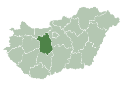
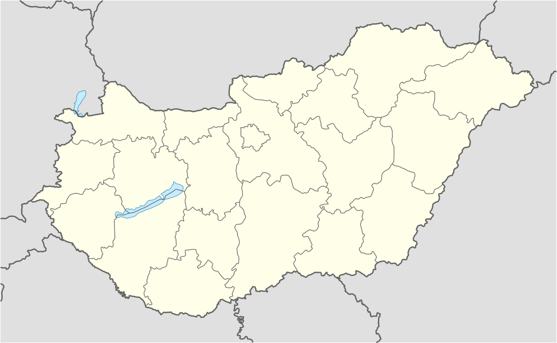 Tác Location of Tác | |
| Coordinates: 47.07933°N 18.40509°E | |
| Country | |
| County | Fejér |
| Area | |
| • Total | 45.69 km2 (17.64 sq mi) |
| Population (2004) | |
| • Total | 1,560 |
| • Density | 34.14/km2 (88.4/sq mi) |
| Time zone | UTC+1 (CET) |
| • Summer (DST) | UTC+2 (CEST) |
| Postal code | 8121 |
| Area code(s) | (+36) 22 |
| Motorways | M7 |
| Distance from Budapest | 74 km (46 mi) Northeast |
External links
| Wikimedia Commons has media related to Tác. |
- Street map (in Hungarian)
- Aerial photography: Gorsium - Tác - Hungary
| Cities with county rights |
|   |
|---|---|---|
| Towns | ||
| Large villages | ||
| Villages |
| |
| Other topics |
| |
| Authority control |
|
|---|
This article is issued from Wikipedia. The text is licensed under Creative Commons - Attribution - Sharealike. Additional terms may apply for the media files.