Fuxing Islet
Fuxing Islet (Chinese: 復興嶼; pinyin: Fùxīng Yǔ; Wade–Giles: Fu4-hsing1 Yü3; Pe̍h-ōe-jī: Ho̍k-heng-sū; lit.: 'rejuvenation islet')[2][3] (Fuhsing Islet[4][5][6][7], Hou-chai Hsü[8]) is an islet located south of Lesser Kinmen (Lieyu) in Lieyu Township, Kinmen County, Fujian Province, Republic of China (Taiwan).[9][10] The name of the islet was originally Phaktia[8][11] (Chinese: 覆鼎嶼; pinyin: Fùdǐng Yǔ; Pe̍h-ōe-jī: Phak-tiáⁿ-sū; lit.: 'inverted rice-boiler islet'[12]).[10]
| Native name: 復興嶼 | |
|---|---|
 Fuxing Islet, as seen from the shore of Lesser Kinmen (Lieyu) | |
| Geography | |
| Location | south of Lesser Kinmen / Lieyu in Lieyu Township, Kinmen County, Fujian, Republic of China (Taiwan) |
| Area | 0.0500 km2 (0.0193 sq mi)[1] |
| Administration | |
Republic of China (Taiwan) | |
| Province | Fujian (streamlined) |
| County | Kinmen |
| Rural Township | Lieyu |
| Additional information | |
| Time zone | |
History
On August 31, 1975, then-Premier Chiang Ching-kuo visited the islet and met with the soldiers stationed there.[4]
On the night of October 19, 2016, the Coast Guard seized a fishing boat with a four man crew captained by a native of Fujian, PRC that was found operating 0.2 nautical miles from Fuhsing Islet (Fuxing Islet). In October 2016, the Coast Guard had arrested thirty-four crewman from ten Chinese boats in the Kinmen County area.[5]
Gallery
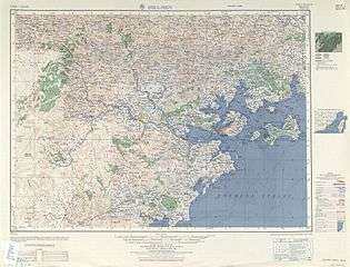 Fuxing Islet (labelled as Hou-chai Hsü (Phaktia)) (AMS, 1954)
 Fuxing Islet (islet near the center of photograph) off the coast of Lesser Kinmen (Lieyu) (larger island)
See also
References
- 行政面積. 金門縣政府民政處 Civil Affairs Department, Kinmen County Government (in Chinese). 29 January 2019. Retrieved 8 August 2019.
外圍 島嶼 面積單位: (平方公里){...} 復興嶼 0.0500
- "Geographic environment". Kinmen National Park. Archived from the original on 28 October 2018. Retrieved 27 July 2019.
The 12 islands and islets comprising {...} Fuxing islet, {...
} - Ruan Zhenyan, Dong Lin (2007). "Review of Xiamen-Kinmen Sea Area Management Seminar". Hein Online. p. 6. Retrieved 8 August 2019.
Menghu Islet, Fuxing Islet and Shi Islet,
CS1 maint: uses authors parameter (link) - Chiang Ching-kuo (31 August 1975). "A year to remember (III)". Taiwan Today. Retrieved 8 August 2019.
I took a fast boat from Tatan to Fuhsing Islet, where I had lunch with the officers and men to judge the quality of food served to the armed forces at the front. I also tasted the canned fruit and approved of it. The setting was beautiful and natural. The wide sea below was spotted with fishing boats, and the experience was exhilarating. The friendship and sincerity of the armed forces impressed me. I continued inspection of various facilities in the afternoon and became more firmly convinced of the truth of the maxim that "The diligence of man is certain to break down natural barriers." As night fell, I returned to Kinmen.
- Amy Huang, Lilian Wu (20 October 2016). "Kinmen clamps down on illegal Chinese boats". Focus Taiwan. Retrieved 25 August 2019.
In one incident, they found a Chinese fishing boat operating at 0.2 nautical miles off Fuhsing islet Wednesday night and sent cutters to seize the boat and took four crewmen aboard the vessel back to Kinmen.
- 金門地區離島通航航道公告圖 (PDF). Coast Guard Administration (Taiwan) (in Chinese). Retrieved 25 August 2019.
復興嶼 Fuhsing Islet
- 洪挬論 Hung Poh-lun (2005). 東北季風期間大陸漁船越區捕魚或避風海巡艦艇難以出勤驅離之探討 [Examining what keeps Coast Guard cutters and vessels from expelling Mainland fishing vessels’ trespassing for illegal fishing and/ or seeking shelter against gusty winds during the Northeast trade wind period] (PDF). Coast Guard Administration (Taiwan) (in Chinese and English). p. 53. Retrieved 25 August 2019.
(四)金門海域:大多集中於大岩嶼群礁至塔山一帶、小金門東崗至復興嶼海域及大膽、二膽間之水道。{...}4.)The Kinmen sea territories: Mainland fishing vessels tend to congregate along the Dayen islet to Ta Shan, the water areas from Little Kinmen’s Dong Gang to Fuhsing islet, and the waterways between Da Dan and Er Dan.
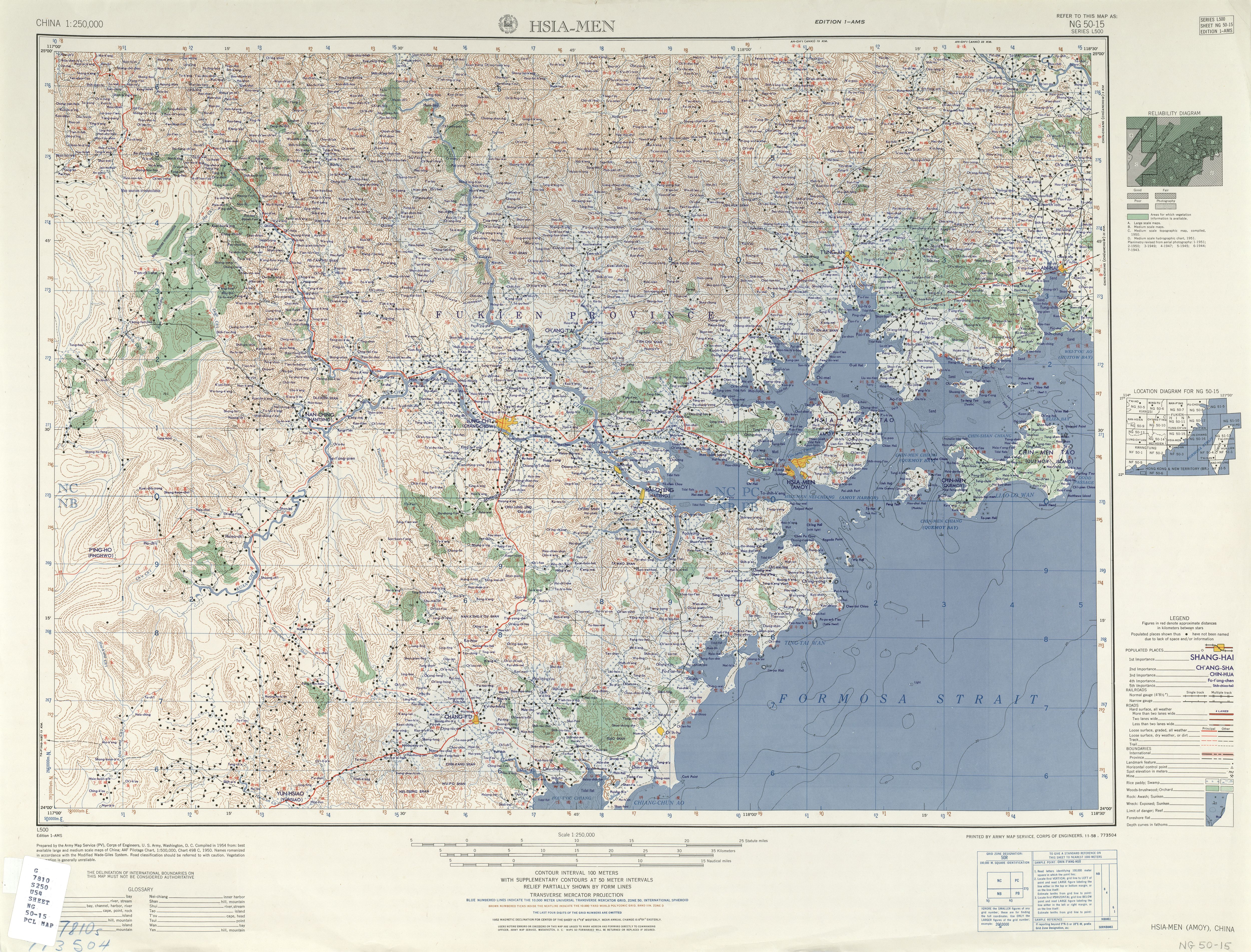
- "NG 50-15 HSIA-MEN" (in English and Chinese). Washington, D. C.: Army Map Service. 1954 – via Perry–Castañeda Library Map Collection.
Hou-chai Hsü (Phaktia)
- 金門縣土地段名代碼表 (in Chinese). Department of Land Administration. 5 September 2018. Retrieved 9 August 2019.
地政事務所名稱(代碼) 金門(WA) 鄉鎮市區名稱(代碼) 烈嶼鄉(05){...}段 小段 代碼 備註{...}復興嶼 0253
- 李金生 (11 September 2015). "復興嶼虎頭蜂為患 金門消防登島摘除". China Times (in Chinese). Retrieved 4 August 2019.
復興嶼原名覆鼎嶼,位於小金門的南方,面積僅0.05平方公里,隸屬於金門縣烈嶼管轄,
- Konteradmiral Hoffman (1896). "Segelanweisung für den Hafen von Quemoy". Annalen der Hydrographie und maritimen Meteorologie (in German). 24. Berlin. p. 482 – via Internet Archive.
Phaktia
- Carstairs Douglas (1899). Dictionary of the Vernacular or Spoken Language of Amoy. London. p. 390 – via Internet Archive.
覆{...}phak-tiáⁿ, an inverted rice-boiler (v. tiáⁿ).
External links
- 知海-空拍系列-烈嶼 復興嶼 ('Knowing the Ocean- Aerial Photography Series- Lieyu Fuxing Islet') via Resource Center of Marine Education, Kinmen County
| Wikimedia Commons has media related to Fuxing Islet. |