Furness Vale
Furness Vale is a village in the High Peak district of Derbyshire, England, between New Mills and Whaley Bridge. It is bisected by the A6 road and the Peak Forest Canal, whose towpath is followed by the Goyt Way,[1] part of the 230-mile (370 km) Midshires Way. It comes under the administration of Whaley Bridge town council[2] and has a population of approximately 1,500.[3]
| Furness Vale | |
|---|---|
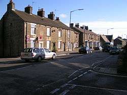 The A6 passes through Furness Vale. | |
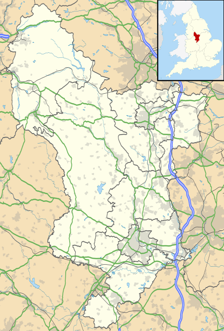 Furness Vale Location within Derbyshire | |
| Population | 1,500 |
| OS grid reference | SK007835 |
| District |
|
| Shire county | |
| Region | |
| Country | England |
| Sovereign state | United Kingdom |
| Post town | HIGH PEAK |
| Postcode district | SK23 |
| Dialling code | 01663 |
| Police | Derbyshire |
| Fire | Derbyshire |
| Ambulance | East Midlands |
| UK Parliament | |
The village has a small community primary school for boys and girls aged 4–11. For secondary education, children travel to Chapel-en-le-Frith, New Mills, Hope Valley or Buxton. There are two pubs (The Soldier Dick and The Crossings), a social club, a railway station and a fish and chip shop. The post office closed around 2015 and has been converted into a domestic dwelling. The social club is now used as a post office twice a week.
Since 2008, the village has hosted a free music event on its football field in order to raise funds for the development of the field itself. It is held on a Saturday during the summer months and is organised by a committee of local residents.
See also
References
- "Goyt Way". Long Distance Walkers Association. Retrieved 26 March 2018.
- Whaley Bridge Town Council, Summer 2009
- Office for National Statistics 2001 Census
External links
![]()