Caparica
Caparica is a former civil parish in the municipality (concelho) of Almada, Lisbon metropolitan area, Portugal. In 2013, the parish merged with the civil parish of Trafaria into the new parish Caparica e Trafaria.[1] The population in 2011 was 20,454,[2] in an area of 11.02 km².[3]
Caparica | |
|---|---|
 Coat of arms | |
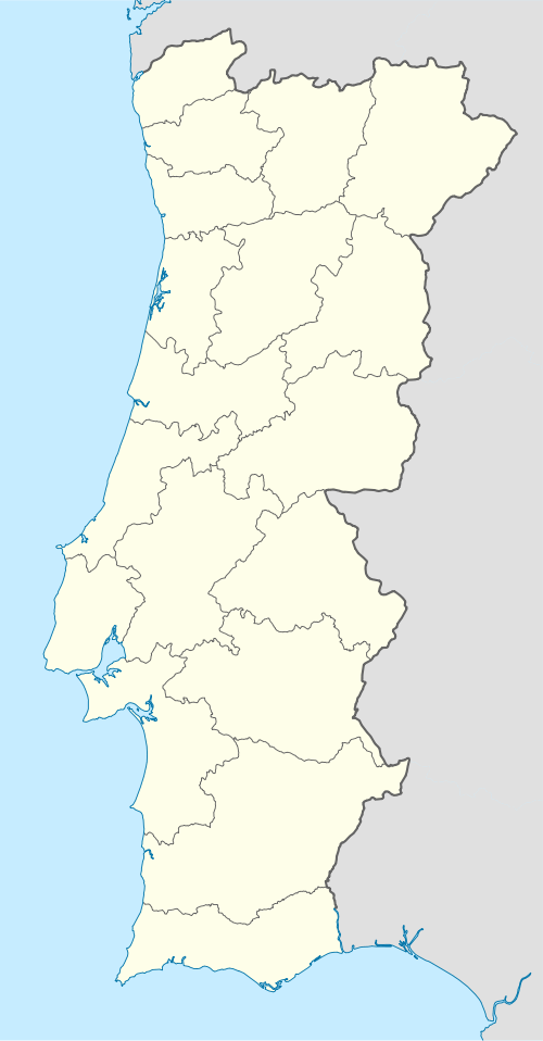 Caparica Location in Portugal | |
| Coordinates: 38.664°N 9.200°W | |
| Country | |
| Region | Lisboa |
| Metropolitan area | Lisbon |
| District | Setúbal |
| Municipality | Almada |
| Disbanded | 2013 |
| Area | |
| • Total | 11.02 km2 (4.25 sq mi) |
| Population (2011) | |
| • Total | 20,454 |
| • Density | 1,900/km2 (4,800/sq mi) |
| Time zone | UTC±00:00 (WET) |
| • Summer (DST) | UTC+01:00 (WEST) |
| Postal code | P-2825 |
| Website | www.jf-caparica.pt |
Location
Caparica is situated on the Setúbal Peninsula, south of the Tagus River. On the opposite bank of the Tagus lies Belém, a civil parish of Lisbon. Caparica lies west of the central part of Almada Municipality and west of the 25 de Abril Bridge.
History
The name Caparica is probably derived from the Latin word capparis, which means caper. Caparica may have been founded during the Roman conquest of the Iberian Peninsula. It became a parish in 1472, and it became a town on September 27, 1985.
Localities
The parish of Caparica includes the following localities:
- Vila Nova de Caparica
- Capuchos
- Funchalinho
- Areeiro
- Granja
- Fómega
- Alcaniça
- Raposo
- Pera
- Monte de Caparica
- Torre
- Fonte Santa
- Serrado
- Pilotos
- Costas de Cão
- Banática
- Porto Brandão
- Lazarim
Points of interest
- Convent of the Capuchins
- Church of Nossa Senhora do Monte de Caparica
- Forte de São Sebastião da Caparica
References
- Diário da República. "Law nr. 11-A/2013, page 552 10" (pdf) (in Portuguese). Retrieved 8 July 2014.
- Instituto Nacional de Estatística
- Eurostat Archived September 6, 2014, at the Wayback Machine