Flagg
Flagg (Old Norse A sod of peat) [1] is a small Peak District village and civil parish, set in the Derbyshire Dales, halfway between the small market town of Bakewell and the spa town of Buxton, in the area officially known as "The White Peak". 1000 feet above sea level, Flagg is recorded in the Domesday Book as "Flagun", and is believed to have originally been a Viking settlement engaged primarily in lead mining, the evidence of which can still be seen today with many spoil heaps and disused mine shafts in the area. The population of the civil parish as taken at the 2011 Census was 192.[2]
| Flagg | |
|---|---|
 Flagg Methodist Chapel. | |
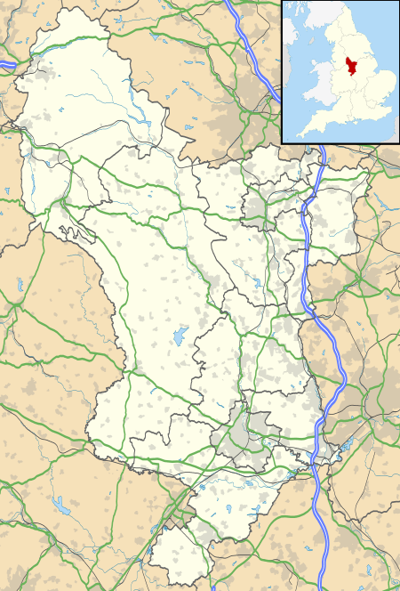 Flagg Location within Derbyshire | |
| Population | 192 (2011) |
| OS grid reference | SK136683 |
| District | |
| Shire county | |
| Region | |
| Country | England |
| Sovereign state | United Kingdom |
| Post town | BUXTON |
| Postcode district | SK17 |
| Dialling code | 01298 |
| Police | Derbyshire |
| Fire | Derbyshire |
| Ambulance | East Midlands |
| UK Parliament | |
In the mid-19th century, well dressings were held during "Wakes Week", which was always begun on the first Sunday after June 24. There were two wells, one opposite to Ivy House Farm, and the other opposite to Edge Close Farm.
These days, Flagg is predominantly a farming village, concentrating on all aspects of agriculture, but is actually best known throughout the United Kingdom for the point-to-point races held annually on Easter Tuesday by the High Peak Hunt. On one occasion, King Edward VIII, the then Prince of Wales, actually rode at the races.
The village is also very popular with hikers and campers, having numerous well known walks within or close to its boundaries, and several campsites catering for tents, caravans, and motorhomes. The village is a short distance from Tideswell, Ashbourne, Matlock, and the Manifold Valley.
Amongst its farms, houses and cottages, Flagg also boasts an Elizabethan Manor House known as Flagg Hall which is not open to the public. There is a caravan/campsite within its grounds. There is also the Unitarian church which was built in 1838 however has now been converted into a private dwelling. A Methodist chapel is also situated in the village. It was completed in 1839. Next to the chapel is the former Village School, now a nursery school.
External links
| Wikimedia Commons has media related to Flagg. |
References
- "Flagg". Key to English Place Names. Institute for Name Studies, University of Nottingham. Retrieved 13 May 2012.
- "Civil parish population 2011". Neighbourhood Statistics. Office for National Statistics. Retrieved 24 March 2016.