Edwards Peninsula
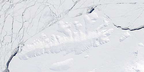
Edwards Peninsula is an ice-covered peninsula about 20 nautical miles (40 km) long, between Murphy Inlet and Koether Inlet on the north side of Thurston Island. It was delineated from aerial photographs made by U.S. Navy Operation Highjump in December 1946 and by U.S. Navy Squadron VX-6 in January 1960, and was named by the Advisory Committee on Antarctic Names for Lieutenant Donald L. Edwards, the navigator of the USS Burton Island on the U.S. Navy Bellingshausen Sea Expedition to this area in February 1960.[1] Mount Bubier sits about 4 nautical miles (7 km) south of the northern tip of the peninsula.[2] Tribby Peak sits about 1.5 nautical miles (2.8 km) west of Mount Bubier.[3]

Maps
- Thurston Island – Jones Mountains. 1:500000 Antarctica Sketch Map. US Geological Survey, 1967.
- Antarctic Digital Database (ADD). Scale 1:250000 topographic map of Antarctica. Scientific Committee on Antarctic Research (SCAR), 1993–2016.
References
- "Edwards Peninsula". Geographic Names Information System. United States Geological Survey. Retrieved 2012-02-26.
- "Bubier, Mount". Geographic Names Information System. United States Geological Survey. Retrieved 2011-09-25.
- "Tribby Peak". Geographic Names Information System. United States Geological Survey. Retrieved 2018-08-29.
![]()