East Tintic Mountains
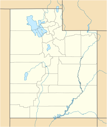
The East Tintic Mountains are a mountain range in central Juab, Utah, and Tooele counties in Utah, United States on the east margin of the Great Basin just west of the Wasatch Front about 50 miles (80 km) south-southeast of Salt Lake City.[1] The community of Eureka is an old mining town near the center of the range. U.S. Route 6 Passes through the central part of the range and through Eureka.
| East Tintic Mountains | |
|---|---|
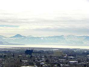 NE flank of range & Utah Lake from Provo "County Line Ridge" and peaks (overlooking Utah Valley, & Goshen Valley, West Mountain (Utah County, Utah) at photo left) | |
| Highest point | |
| Peak | Boulter Peak |
| Elevation | 8,308 ft (2,532 m) |
| Coordinates | 40°00′13″N 112°11′50″W |
| Geography | |
 East Tintic Mountains East Tintic Range in Utah | |
| Country | United States |
| State | Utah |
| Counties | Utah, Juab and Tooele |
| Settlement | Eureka, Utah |
| Borders on | Utah Valley, Goshen Valley, Rush Valley and Cedar Valley |
| Topo map | USGS Boulter Peak, Allens Ranch, Tintic Junction, Eureka, Tintic Mountain and Furner Ridge 7.5 minute maps |
| Geology | |
| Mountain type | Mountain Range |
The Tintic Mining District is located in the central part of the range. The district was an important producer of silver, gold and base metals during the late 19th and early 20th centuries.[2] The Tintic Smelter Site, the Sunbeam Mine, and the Silver City Cemetery, listed on the National Register of Historic Places, preserve some remnants of the district.
References
- U.S. Geological Survey Geographic Names Information System: East Tintic Mountains
- Shepard, W. M., H. t. Morris and D. R. Cook, Geology and Ore Deposits of the East Tintic Mining District, Utah, in Ore Deposits of the United States, 1933-1967, John D. Ridge, editor, American Institute of Mining and Metallurgical Engineers, 1968, pp 941-965