Jyňňylhatap
Jyňňylhatap or Dzhingilkhatab is a town in eastern Turkmenistan near the border with Afghanistan. It is located in Lebap Province in an important agricultural area on the south bank of the Amu Darya.
Jyňňylhatap | |
|---|---|
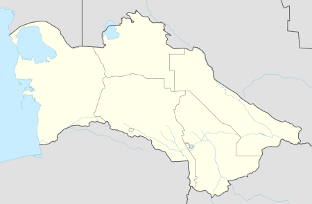 Jyňňylhatap Location in Turkmenistan | |
| Coordinates: 37°39′40″N 65°27′27″E | |
| Country | |
| Province | Lebap Province |
| Elevation | 242 m (794 ft) |
Nearby towns and villages include Agar (2.8 nm), Gyzyl Daýhan (4.1 nm), Hatap (3.8 nm) and Çagagüzer (1.7 nm).[1]
References
- Falling rain gazetteer
External links
This article is issued from Wikipedia. The text is licensed under Creative Commons - Attribution - Sharealike. Additional terms may apply for the media files.