Dorlay
The Dorlay is a French river that flows through the Loire department. It is a tributary of the Gier, which in turn is a tributary of the Rhone. The Gier valley was formerly heavily industrialized with coal and iron mines and factories.
| Dorlay | |
|---|---|
| Location | |
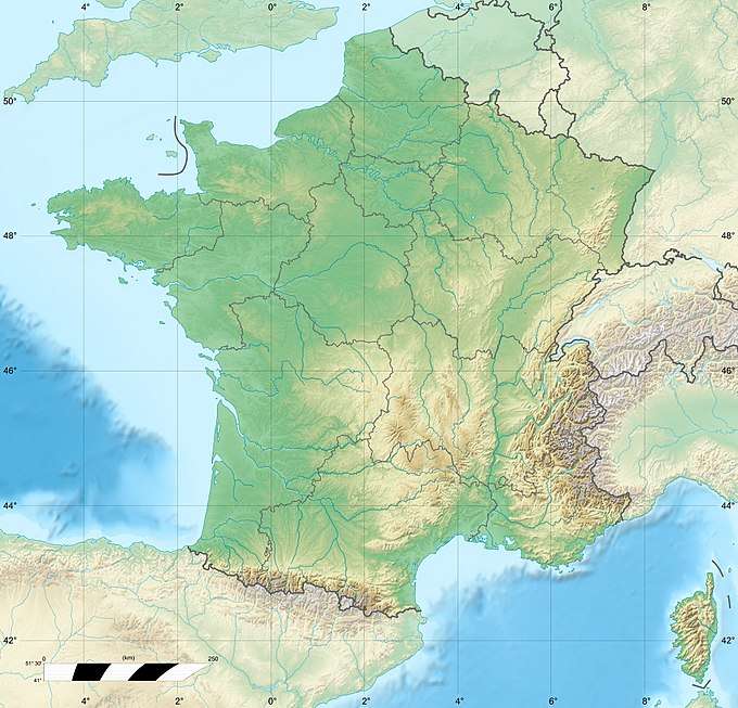
| Country | France |
| Location | Rhône-Alpes |
| Physical characteristics | |
| Source | |
| ⁃ location | Mont Pilat |
| Length | 15.6 km (9.7 mi) |
| Basin features | |
| Progression | Gier→ Rhône→ Mediterranean Sea |
Basin
The Dorlay rises in Mont Pilat.[1] It is 15.6 kilometres (9.7 mi) long. Tributaries are the Artiole, Mornante and Sellon.[2] The Mornante and Sellon are known for the presence of white-clawed crayfish, a heritage species. The catchment area is about 50 square kilometres (19 sq mi) The source of the river is at an altitude of over 1,400 metres (4,600 ft), while the average elevation of the basin is 730 metres (2,400 ft) The upper part of the basin is forested or pastureland.[3]
Communities
A manuscript of 1200 gives the river the Latin name of Dorleum. In 1224 it is called Aqua de Dorllei. Subsequent mentions call it Rivus de Dorlay (1359), Dorleys (1527), Dourley (1718) and Dourlay (1789).[4] It flows through the communes of La Grand-Croix, Saint-Paul-en-Jarez, Lorette, La Terrasse-sur-Dorlay and Doizieux.[5] In the past, the river powered many weaving workshops in the valley.[2]
Dam
Construction of a dam on the Dorlay by the town of Rive-de-Gier was discussed in 1884 but the project was abandoned due to cost.[6]
Today's Barrage du Dorlay is located at 45.443302°N 4.578356°E on the river between Doizieux and La Terrasse-sur-Dorlay. It was built between 1971 and 1973. The dam has a storage capacity of 2,500,000 cubic metres (88,000,000 cu ft), with a catchment area of about 24.4 square kilometres (9.4 sq mi).[1] It is at an altitude of about 500 metres (1,600 ft).[3] The dam supplies potable water to the municipalities of Lorette, Chateauneuf, Chagnon, Cellieu, St-Paul-en-Jarez, La Grand-Croix and part of Rive-de-Gier. In 2008 it supplied about 1,370,000 cubic metres (48,000,000 cu ft) of water to about 22,630 people.[7] Since the dam is used for drinking water, swimming is not allowed - but some people swim anyway. Some local people use the dam for canoeing, but there are no rental boats.[8]
Coal
In 1730 a large coal seam was found along the Dorlay. A number of mines were sunk to a depth of 40 metres (130 ft) or more. These were worked for a short period, then abandoned due to lack of pumping equipment. Mining resumed in 1776 with pumps operating, but was abandoned in 1792 due to the volume of water entering the mines from the Dorlay.[9] The river's path marks a geological fault in the Loire coal basin.[10] In 1838 the Saint-Philippe mines were sunk on the right bank of the Dorlay to a depth of 170 metres (560 ft), but did not find any significant coal deposits.[11]
References
Citations
- CESAME 2010, p. 46.
- Castan, Decq & Ozanam 2006.
- CESAME 2010, p. 6.
- Dufour 1946, p. 289.
- Le Dorlay: Sandre.
- Assemblée nationale - Sénat 1885, p. 90.
- CESAME 2010, p. 47.
- CESAME 2010, p. 89.
- Meugy 1848, p. 22.
- Gruner 1882, p. 51.
- Meugy 1848, p. 121-122.
Sources
- Assemblée nationale - Sénat (1885). Annales du Sénat: Documents parlementaires. (Nouv. sér.). Imprimerie du Journal officiel. Retrieved 2013-08-20.CS1 maint: ref=harv (link)
- Castan, Florence; Decq, Gérard; Ozanam, Mathieu; Emmanuelle Berne (2006-07-27). Petit Futé Saint-Etienne. Nouvelles Editions de l'Université. p. 308. ISBN 978-2-7469-1553-4. Retrieved 2013-08-20.CS1 maint: ref=harv (link)
- CESAME (March 2010). "Prélèvements et gestion quantitative de la ressource sur le bassin versant du Gier Phase 1" (PDF). Saint-Etienne Metropole. Retrieved 2012-08-20.CS1 maint: ref=harv (link)
- Dufour, J.-E. (1946). Dictionnaire topographique du département de la Loire. Université de Saint-Etienne. p. 289. ISBN 978-2-86272-412-6. Retrieved 2013-08-20.CS1 maint: ref=harv (link)
- Gruner, Louis Emmanuel (1882). Bassin houiller de la Loire. Ministère des travaux publics, Service des topographies souterraines. p. 51. Retrieved 2013-08-20.CS1 maint: ref=harv (link)
- "Le Dorlay (V3110500)". Sandre. Retrieved 2013-08-20.
- Meugy, Alphonse (1848). Historique des mines de Rive-de-Gier, Loire. Retrieved 2013-08-20.CS1 maint: ref=harv (link)