Dəstə
Dəstə (also, Deste, Dasta and Dastamal) is a village and the most populous municipality, after the capital Ordubad, in the Ordubad Rayon of Nakhchivan, Azerbaijan. It is located in the near of the Ordubad-Nakhchivan highway, 12 km in the south-east from the district center, on the left bank of the Aras river. People of the village is busy with gardening, vegetable-growing, farming. There are two secondary school, two library, club, communication branch, kindergarten and hospital in the village. It has a population of 4,313.[1]
Dəstə | |
|---|---|
Municipality | |
 Dəstə | |
| Coordinates: 38°53′00″N 45°54′40″E | |
| Country | |
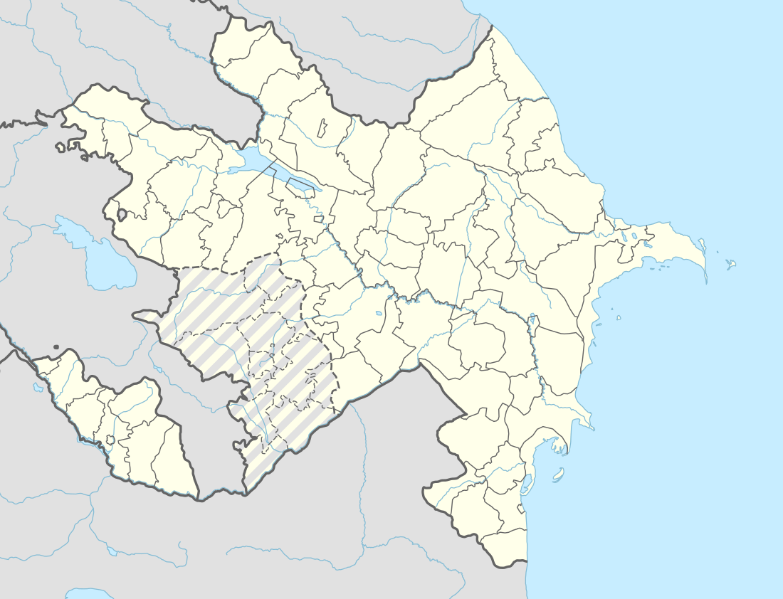
| Autonomous republic | Nakhchivan |
| Rayon | Ordubad |
| Population (2005) | |
| • Total | 4,313 |
| Time zone | UTC+4 (AZT) |
History
During the period of late antiquity, Dəstə, known by the Armenian name of Dasta (Դաստա; also, Dastak, Դաստակ), was an Armenian-populated village in the Kingdom of Armenia and was administratively a part of the province of Vaspurakan's district of Goght'n.[2] In later centuries, its Armenian population emigrated and settled in nearby settlements, especially Agulis and Shusha.[2]
In the early twentieth century, it had a population of about 1,500, most of whom were Muslims.[2] By 1971, its population had risen to 4,500.[2]
The remains of two partially destroyed Armenian churches were still preserved at the end of the Soviet period.[2]
Notes
- ANAS, Azerbaijan National Academy of Sciences (2005). Nakhchivan Encyclopedia. volume I. Baku: ANAS. p. 134, 135. ISBN 5-8066-1468-9.
- Hakobyan, Tadevos Kh.; Stepan Melik-Bakhshyan; Hovhannes Kh Barseghyan (1988). Հայաստանի և Հարակից Շրջանների Տեղանունների Բառարան, 2 (Dictionary of the Toponymy of Armenia and its Adjacent Territories, Vol. II.) (in Armenian). Yerevan: Yerevan State University Press. p. 38.
External links
.svg.png)