Danville Municipal Airport
Danville Municipal Airport (FAA LID: 32A) is a public use airport in Yell County, Arkansas, United States. The airport is owned by the City of Danville and located three nautical miles (6 km) northwest of its central business district.[1] It is included in the National Plan of Integrated Airport Systems for 2011–2015, which categorized it as a general aviation facility.[2]
Danville Municipal Airport | |||||||||||
|---|---|---|---|---|---|---|---|---|---|---|---|
 | |||||||||||
| Summary | |||||||||||
| Airport type | Public | ||||||||||
| Owner | City of Danville | ||||||||||
| Serves | Danville, Arkansas | ||||||||||
| Elevation AMSL | 387 ft / 118 m | ||||||||||
| Coordinates | 35°05′13″N 093°25′39″W | ||||||||||
| Map | |||||||||||
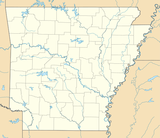 32A Location of airport in Arkansas | |||||||||||
| Runways | |||||||||||
| |||||||||||
| Statistics (2011) | |||||||||||
| |||||||||||
Facilities and aircraft
Danville Municipal Airport covers an area of 49 acres (20 ha) at an elevation of 387 feet (118 m) above mean sea level. It has one runway designated 11/29 with an asphalt surface measuring 5,325 by 75 feet (1,623 x 23 m).[1]
For the 12-month period ending June 30, 2011, the airport had 3,000 general aviation aircraft operations, an average of 58 per week. At that time there were seven aircraft based at this airport: 57% single-engine and 43% multi-engine.[1]
References
- FAA Airport Master Record for 32A (Form 5010 PDF). Federal Aviation Administration. Effective November 15, 2012.
- "2011–2015 NPIAS Report, Appendix A" (PDF). National Plan of Integrated Airport Systems. Federal Aviation Administration. October 4, 2010. Archived from the original (PDF, 2.03 MB) on 2012-09-27.
External links
- Danville Municipal Airport (32A) at Arkansas Department of Aeronautics
- Aerial image as of April 2000 from USGS The National Map
- Airfield photos from U.S. Civil Air Patrol at the Wayback Machine (archived September 23, 2006)
- Resources for this airport:
- FAA airport information for 32A
- AirNav airport information for 32A
- FlightAware airport information and live flight tracker
- SkyVector aeronautical chart for 32A